Wharite Peak is accessed via Woodlands road, off Napier road, as you head West towards the Manawatu Gorge from Woodville. Woodlands Road is only 200-300 metres past the open road sign as you leave Woodville.
The road exists to allow access to a huge radio transmission tower on top of the hill and because of this the road is kept in good condition, though it does rise fairly steeply and have some quite tight corners, and depending on when it was last graded can have quite deep loose gravel.
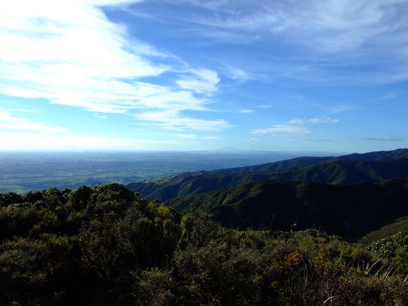
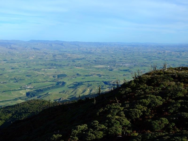
The views from the peak on a fine day are quite stunning, with Mt Ruapehu visible over 100km to the North.
Contributed by: @eddieb
Track type: Gravel Road
Track composition: Smooth, loose, Undulating
Slippery when wet?: No
Suitable for bikes <650cc? Beginner
Suitable for bikes >650cc? Beginner
River crossings? No