


New Zealand has an abundance of paper roads and great tracks that cross private farmland, bush and forest land, however a lot of land owners won’t allow access due to a lack of understanding around their obligations and risk of being prosecuted if you have an accident or injury while on their property.
The NZ Government, via their Worksafe New Zealand and Safer Farms departments provide a guide for farmers and land owners about what their responsibilities are for visitors on their land.
The information can be read online or downloaded from the Worksafe website: http://www.worksafe.govt.nz/worksafe/information-guidance/all-guidance-items/farmers-managing-health-and-safety-a-guide-for-farmers. The most relevant section is Section 5.2: Recreational visitors to farms, private or public land. – last updated 26 August 2016.
We’ve referenced this information below, for the full information see the Safer Farms website.
05 / Farm visitors
The person in control of the workplace (usually the farmer or landowner) must take all practicable steps to make sure people working in and visiting the workplace are safe from workplace hazards.
5.2 Recreational visitors to farms, private or public land
The Act mainly applies to people at work. However, in some cases, section 16 of the Act places some responsibility on people in control of the workplace to take all practicable steps to make sure others in the workplace are not harmed.
Duties
Under the Act, people visiting the farm for a workplace-connected reason are covered.
Simply, a farmer has a duty under the Act to warn authorised visitors of any work-related, out-of-the-ordinary hazards that may cause them serious harm.
A farmer is not required to warn visitors about hazards from normal every-day farming activities.
This includes natural hazards on the farm, such as bluffs, landslides, rivers, swamps or wasp nests, that would ordinarily be expected.
Unauthorised visitors
A farmer is not liable if anyone comes on to their land without permission and suffers harm, whether from a work-related hazard or for any other reason.
Authorised visitors
An authorised visitor is anyone who visits a farm with the farmer’s permission and includes people who come for leisure or recreation. This includes people who are legally allowed to be on the property, but only if they have told the farmer they are coming. Such people include employees of TransPower, Department of Conservation and local authorities.
A farmer is not responsible if an authorised visitor is injured, if the farmer warned the visitor about any hazards caused by work on the farm, which the farmer knew could harm that person and a visitor wouldn’t normally expect to face. For example, hazards from tree felling, blasting, earthmoving machinery or pest control operations.
A farmer only has to tell visitors verbally about the hazard, at the time they give permission to go on the land. If a group of people visit, it’s enough to give the warning to a representative of that group.
Paying customers
If people pay to use a farmer’s land, or are there to inspect goods for sale, the people become customers. Farmers must take all practicable steps to keep customers safe from any hazard on the farm. Customers can include: people paying to use the farmer’s land for camping, horse trekking or fruit picking; or where a tour operator pays for tourists to visit a scenic site on the farmer’s land.
Other people
A farmer also has a full duty to other people near where work is being done. But the farmer is only responsible for managing hazards within their control.
Visitor responsibilities
Visitors should take care of themselves by not:
- interfering with plant or equipment, including electrical installations or fences
- entering unauthorised areas or farm buildings
- disturbing or unnecessarily approaching farm animals or work activities
- letting children wander unsupervised
- ignoring instructions or warnings
- leaving gates open or damaging fences.
Warnings and information for visitors
The farmer or landowner might need information, instructions or warning signs to alert visitors to known hazards.
Visitors should make sure they take notice of any warnings and stop if in doubt, until they talk to the farmer or landowner for advice. Visitors should not go into unauthorised areas.
If the visitor can’t contact the owner or occupier, they shouldn’t go ahead. If obvious hazards exist, the visitor must take suitable precautions.

Further information on Unformed Legal Roads (Paper roads) can be found at http://www.walkingaccess.govt.nz, including a summary of the definition and legal status of Unformed Legal Roads.


From http://www.walkingaccess.govt.nz/latest-news/show/new-trail-information-available-online/264/
I’ve just updated the information on this page as the Worksafe website has been updated, there doesn’t seem to be any real changes however.
‘@Hadrian Haine, this is the info I was talking about.
Dispute over public access through forest on Crown-owned land
Good on Richard Murcott, I don’t know if he is a member here or not.
It’s a tough one. As at least one of the roads mentioned is a paper road we should have access to that road at least, however that access is often abused by other parties like trail bike riders and dumpers.
Access to 4 wheeled vehicles was recently blocked for Leslie Road – Cecil Road in the central Waikato due to dumpers totally trashing the place. There’s some pics of the mess they left in the replies on that page.
Opitonui Road – Wade Road in the Coromandel passes through private forestry but has a public easement so it’s supposed to be open for public access every Sunday, but I’ve tried 3 times to go through it and it’s never been open.
The Fernglen Rd access issue has been going a while. There is a linked article from 2015, the latest article is 2018. I tried to get access with a group a while ago & got turned back. Unfortunately it is one of the areas where continued pressure is needed, otherwise ‘the road will revert to its natural state’ & access will disappear.
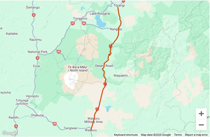
Further up on the Napier/Taupo Rd, the Waipunga Rd is an example of where pressure over a public easement has been successful in removing gates, but the forestry co is now not maintaining the access ways well, I’m guessing in an attempt to discourage or limit access.
WorkSafe has confirmed that people carrying out outdoor recreation are responsible for their own risk rather than landowners or businesses.
Recreation Aotearoa and the New Zealand Alpine Club (NZAC) said they were delighted at the clarification over recreational access to private and public land.
The issue that sparked the clubs’ concern was when Auckland Grammar closed public access to a climbing wall in 2017 after a lawyer raised fears about liability.
Read the full article on Stuff.co.nz
We’ve got access sorted on both Fernglen Rd and the Whareama Public Access Easement (PAE). Finally !!
The PAE is the most useful of these two. This provides a 10km LEGAL route all the way across both the Ngaumu Forest (Stronvar <> Whareama) and (in the middle) the Rewa Bush Conservation Area.
Constraints on use of the PAE include daylight hours only, & a 50kph speed limit. It can still be TEMPORARILY closed by the forestry company for safety reasons, including potentially in high fire risk periods.
Respect the rules and play good on this one please, so that 6yrs of persistence (continuous ‘dog on a bone’ stuff from 2015-2021) isn’t squandered.
BTW Fernglen Rd also enables legal access right across the Stronvar Block of the Ngaumu Forest. But legal access ends at the eastern boundary of the forest. From thereon its private farm. Permission is required use the 6km of farm track (dry weather stuff) to enable a link-up to Homewood Rd.
In 2019 NZ Walking Access Commission updated its position on unformed legal roads.
https://www.walkingaccess.govt.nz/knowledge/access/can-a-landholder-stop-me-using-an-unformed-legal-road/
Can a landholder stop me using an unformed legal road?
Landholders do not have the right to refuse access over adjoining public land. This includes unformed legal roads. These roads do not form part of the title to the adjoining land. Nevertheless, users of these roads should respect the rights of adjoining landowners and their property.
Page last updated: Nov 19, 2020, 9:26 AM
Landowners are not responsible for health and safety of outdoor recreationalists
This page was last updated on 11 May 2021
https://www.walkingaccess.govt.nz/about-us/news/news/landowners-are-not-responsible-for-health-and-safety-of-outdoor-recreationalists/
That’s great news thank you to all involved in making this happen
I will plan a trip before the end of the summer
Are their any contact details available for the Fern Glenn to Homewood road link?
Thanks again
Chris
A new problem on Fernglen Rd! The foresty company has been procrastinating re maintaining their culvert (overflow from their fire-fighting reservoir). The old wooden culvert is disintegrating and it has now washed out the carriageway!! No chance this’ll be sorted before the end of this summer!
So, I checked the map for a trails for future riding trips today and found that some of them, even thought public roads, are gated and locked…
As this is illegal, what’s the way to report those gates when encountered to solve those issues?
As a farmer and keen adventure rider I would be very reluctant to try to use roads marked on a map without first communicating with the landowner. In some/many cases the marked road and the access points for vehicles are different so there would be places where private land may be crossed, communication is the key.