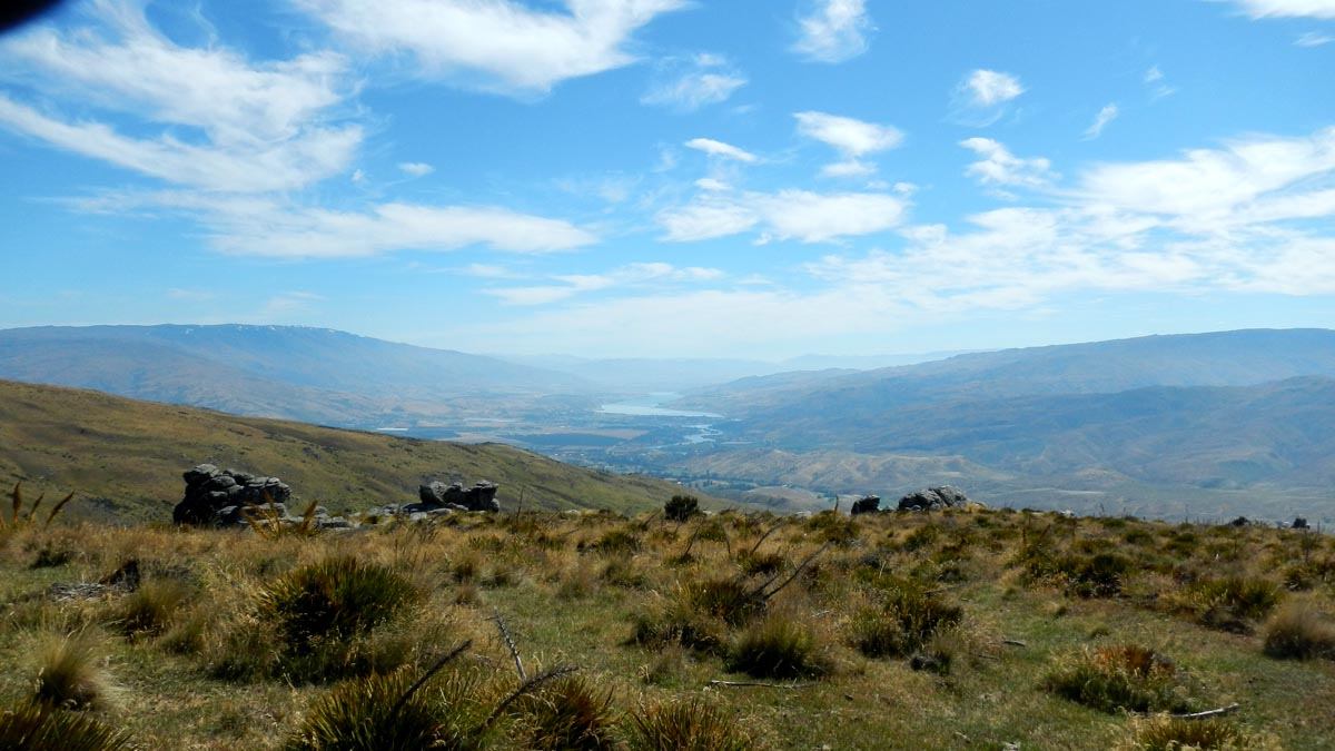
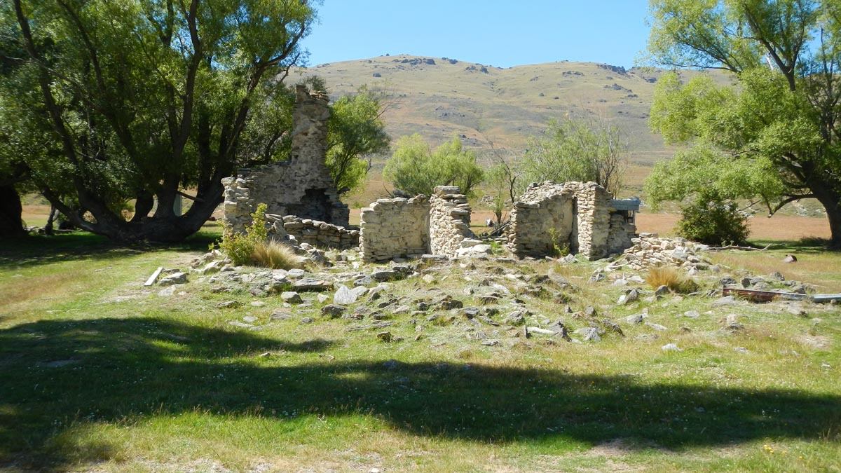
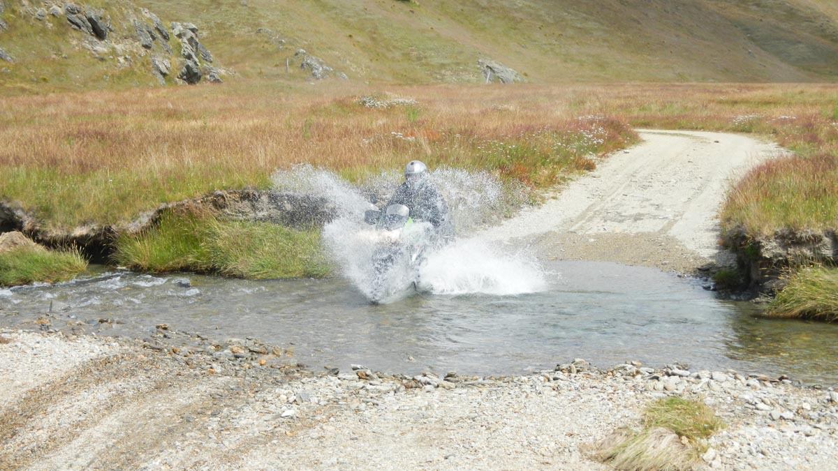
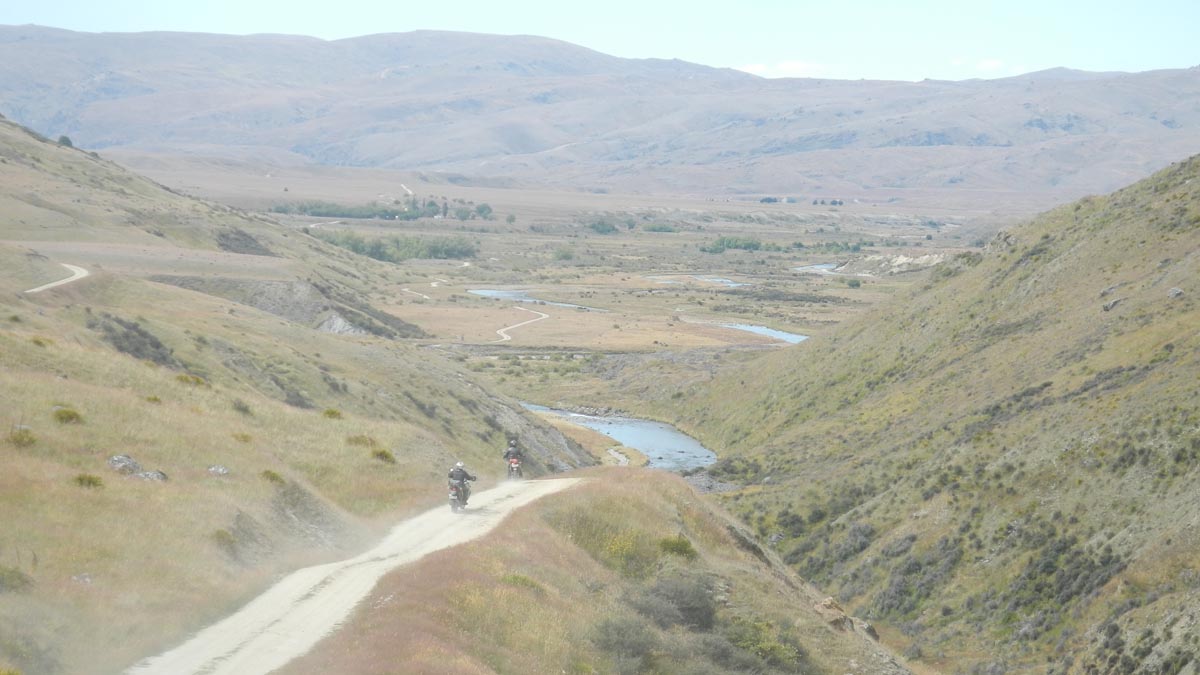
The Nevis Road is 65km of riding bliss, The North and South ends of the track rise over hill ranges with stunning views for miles in many directions before dropping into the Nevis valley which provides stunning scenery, ruins, and over 25 river crossings in about as many kilometres at the southern end. Duffers Saddle at the northern end is marked as the highest public road in New Zealand, just South of Duffers Saddle are several gates, these should be left as found (usually closed).
The Nevis is generally stunning and hot in summer but is closed to motor vehicles from the first Monday in June to 30 September from Comissioners Creek to the Southland district boundary every year.
You can check the DOC website for the latest Nevis Road information.
Nevis River flow information, See how much water is flowing in the Nevis River. You should check this if it’s rained in the area recently.
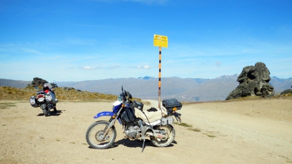
Contributed by: @eddieb
Track type: Gravel road
Track composition: Smooth, Firm, Undulating
Slippery when wet?: Yes
Suitable for bikes <650cc? Intermediate
Suitable for bikes >650cc? Intermediate
River crossings? Yes