The road up to the Cobb Reservoir is a twisty sealed road that winds it’s way up a river valley to the Cob Dam, then is unsealed as it makes it’s way alongside the Cob Reservoir to the track end at the Trilobite Doc hut in the middle of Kahurangi National Park. Cob Dam road can be quite steep in places.
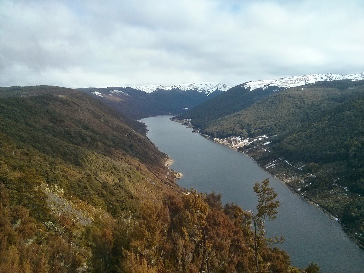
The Cob Reservoir feeds the Cobb Power Station and is 819 metres above sea level. The dam that forms the reservoir was built from 1949 to 1954, replacing a smaller structure built about ten years previously. It is an earth dam 32 metres high by 221 metres long. At the northern end of the reservoir is the DOC Cob River campsite.
Cob Dam Road should be clear most of the year but it does get snow in the winter months which could make it impassable.
You can find updates on any access issues to Cobb Valley area on the DOC website at: http://www.doc.govt.nz/parks-and-recreation/places-to-go/nelson-tasman/places/kahurangi-national-park/cobb-valley/
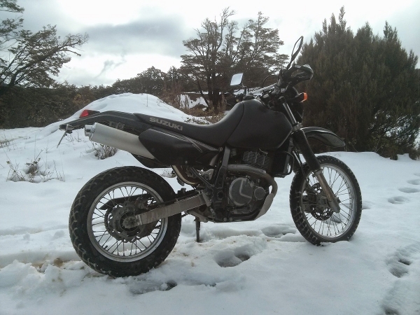
Contributed by: @roger-irwin
Track type: Sealed Road then gravel track
Track composition: Smooth, Firm, Steep
Slippery when wet? No, But does snow in winter
Suitable for bikes <650cc? Beginner
Suitable for bikes >650cc? Beginner
River crossings? No
Cobb Valley is currently inaccessible due to storm damage from Cyclone Gita. A bridge near the beginning of the road is washed out and there is significant damage in a number of places further up the road.
You can find access updates on the DOC link at the end of the main article above.
Cobb Dam was still inaccessible up when last I checked mid Nov. DoC staff at Takaka were saying they were trying to have the road clear by Mid Dec in time for the Xmas holidays. Unfortunately the slip is active & every major rain dump causes further movement.
Once it is clear, the huts are expected to be over run, so take a tent if you intend to stay