Manukapua Island is situated off the end of the Okahukura Peninsula, smack in the middle of North heads Pouto Point and South Heads Bombing range, offering good views of the harbour once on the western side of the island.
At dead low tide the sandflats may very well be dry (as they were on my 1st encounter) but will quickly flood as the tides comes in. As part of this track is an easement (private land that has been opened to allow access to reserve land,) closing all gates, staying on the track and courtesy is required to maintain this arrangement.
Manukapua Island is home to many native (including Dotterel) and migratory birds which live and nest in the dunes, so stick to the sand track and stay off the dunes.
Remember, the sand may be soft in places, and be aware of the tides. Speaking to a local, I was told 2 hours either side of low tide is normally ok, but is wadable at high.
Update 26/07/2022: The entry point for Manukapua Island has moved. Thanks to @daniel_fisher the GPS track has been updated.

Contributed by: @daniel_fisher
Track type: Sand
Track composition: Smooth, Loose, Flat
Slippery when wet?: No
Suitable for bikes > 650cc Intermediate
Suitable for bikes < 650cc Intermediate
River crossings? No – But depending on tides the sand flats to Manukapua Island could be under water)
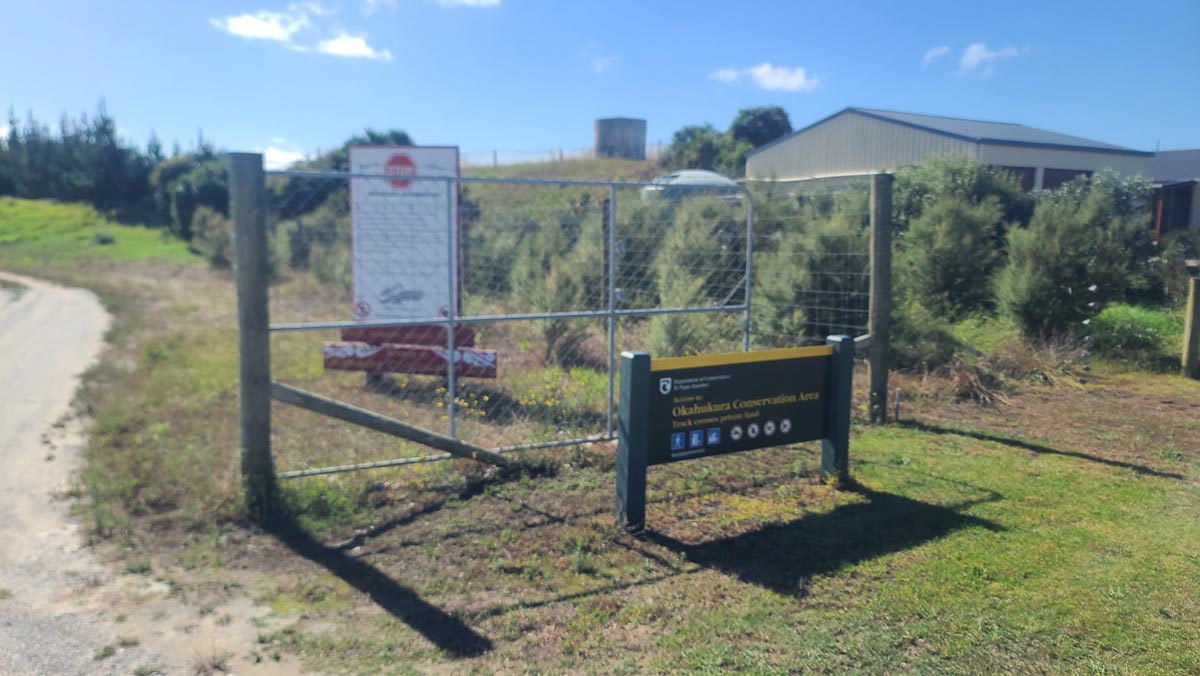
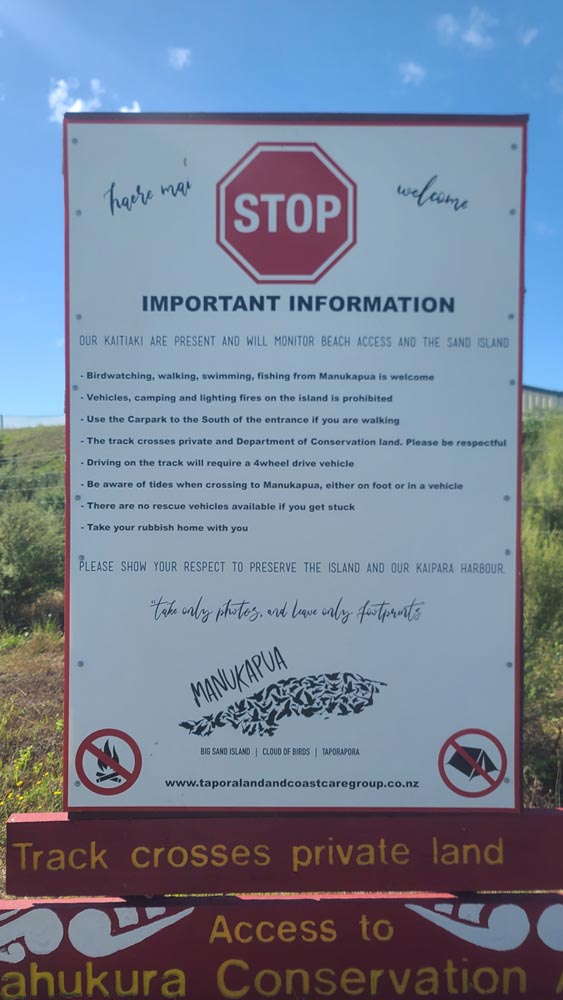
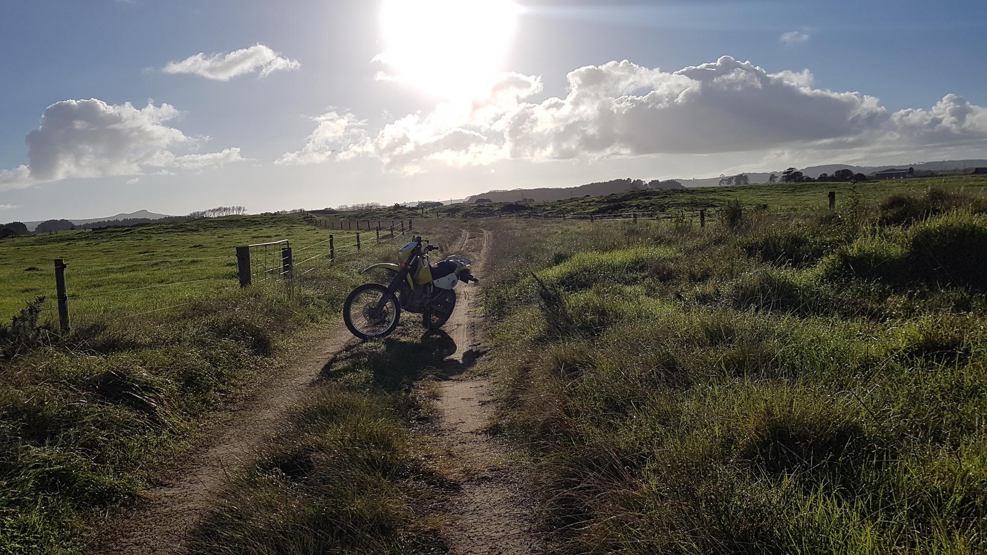
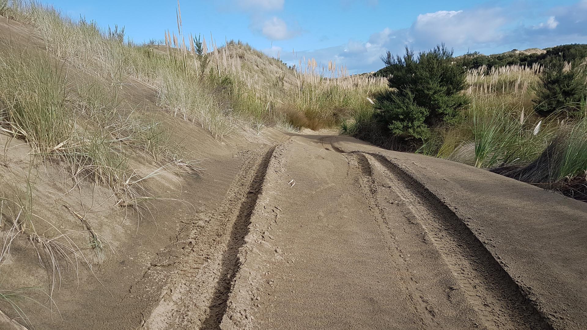
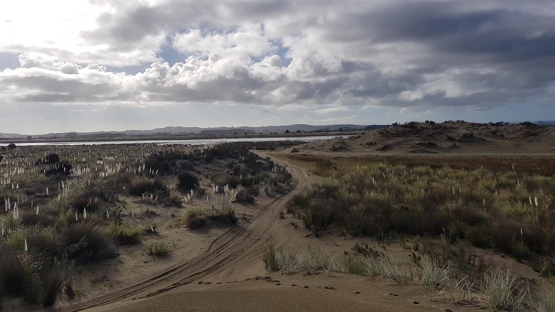
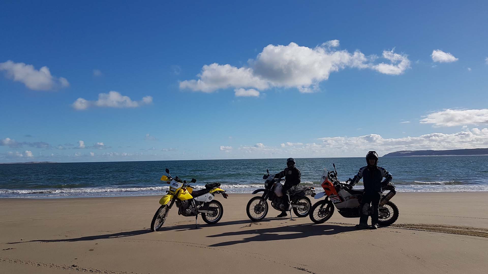
The entry point for Manukapua Island has moved. Thanks to @Daniel Fisher for the updated GPS track.
Looks like fun, I’ve not ridden sand yet as I think it might be quite a different kettle of fish. I’d be keen to try with others so we can push each other out if any get stuck
Hmmm, thought I’d posted something here…..let me see if I can remember what I said. rode this 2 weeks ago. Got stuck. Loose sandy track but short lived. Explored surrounding area – Birds Beach. Unsealed roads with the odd section of deep layers loose stones.
Me stuck in the sand
Birds Beach – about 5 min away.
‘@Daniel Fisher has sent in an updated track as the access point to Manukapua Island has changed. The map on this page has been updated with the latest info as has the download file.
Circumnavigated the island today. Very cool.