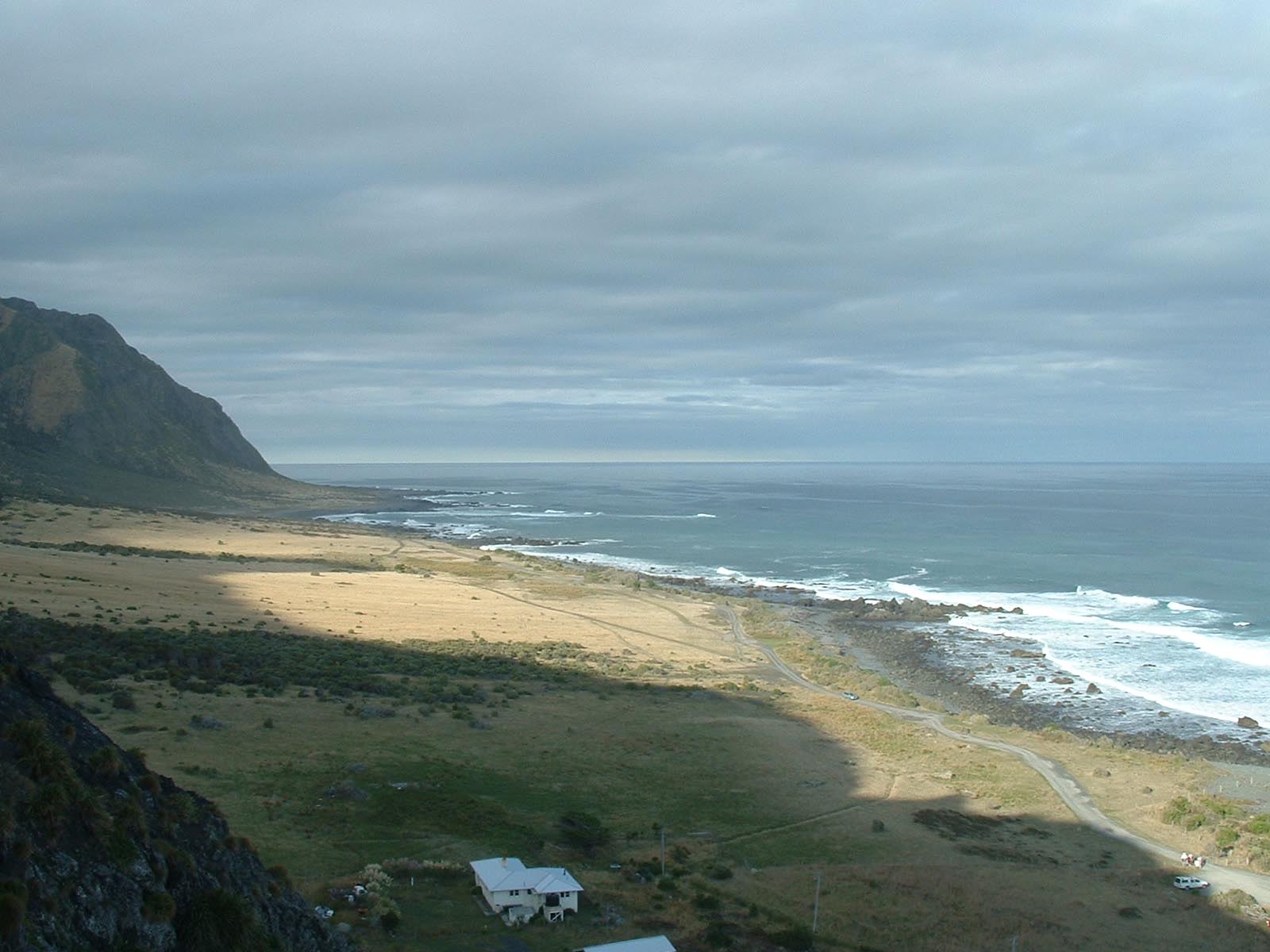
The last turnoff before reaching Lake Ferry is Cape Palliser Road which is signposted for Ngawi. Cape Palliser road is sealed until a few hundred metres before Ngawi village but is an enjoyable ride with great coastal views and usually very little traffic.
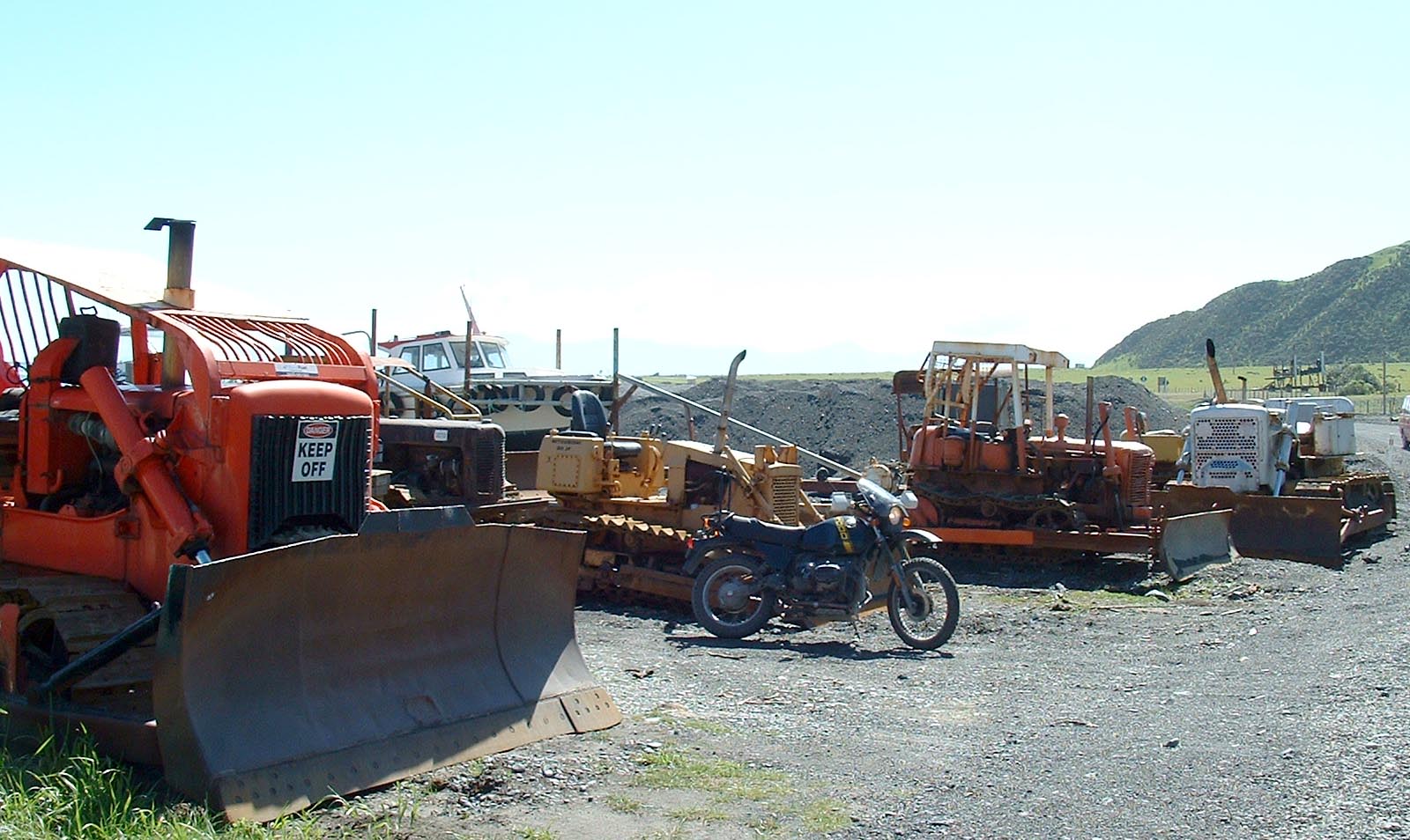
Ngawi village is a popular fishing area however the beach is steep and deep loose stone so the locals use all manner of old tracked vehicles along with huge trailers to launch and retrieve their boats and there’s often some interesting machinery as you enter the village. There’s usually a fish and chip caravan parked up in Ngawi that does excellent fish.
There are 2 camping options in Ngawi, a basic council tenting area on the coastal side of the main road in the village and a campground offering tent spaces and cabins about 500m before the village.
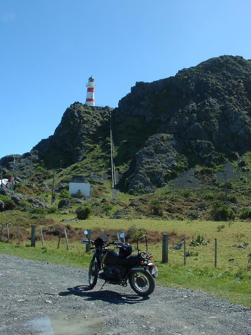
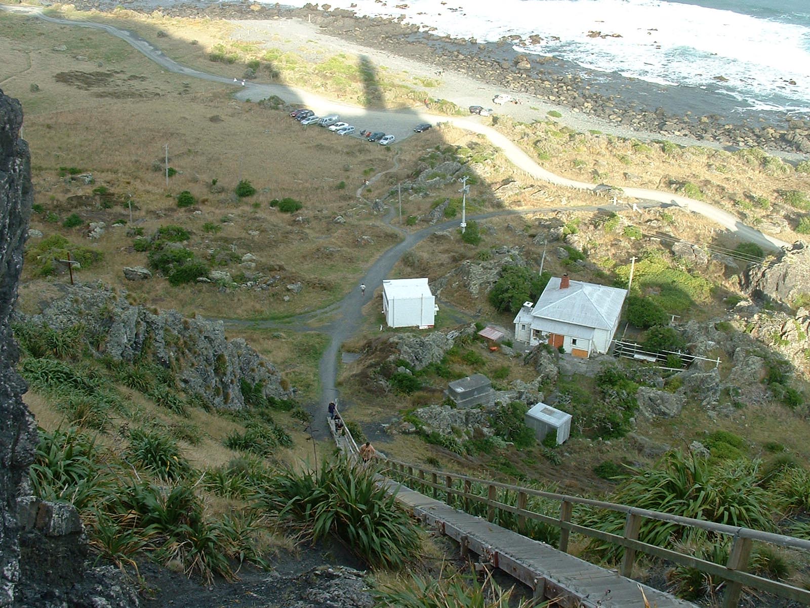
From the village the road continues out to the lighthouse where the climb up to the lighthouse is steep but the views are well worth it.
The road ends just past the Cape Palliser Lighthouse carpark so this ride is one way in, same way out returning along Cape Palliser Road back towards Lake Ferry. The Lake Ferry Hotel is only a short distance from the Cape Palliser Road turnoff and has a nice garden bar.
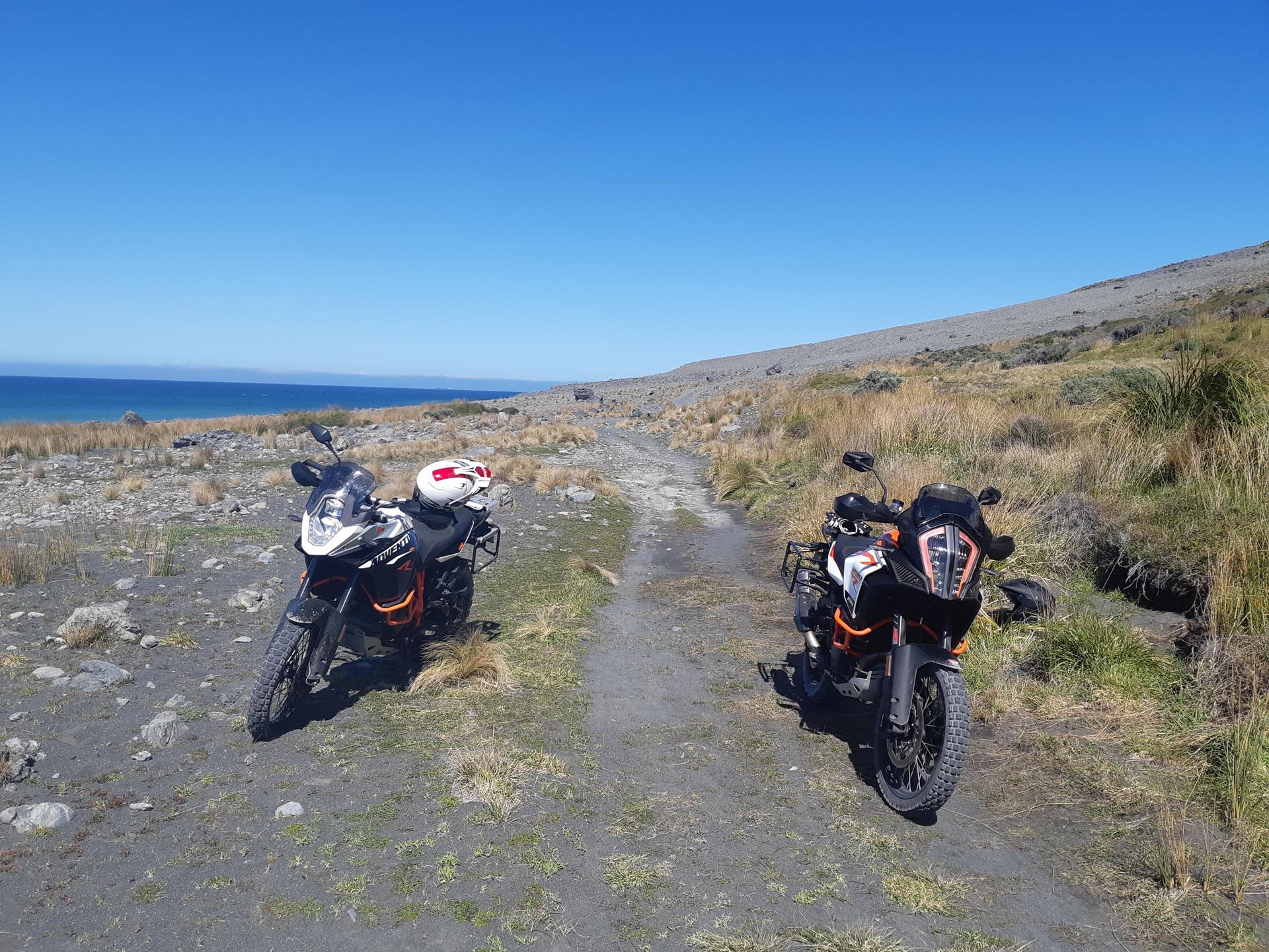
At the end of the carpark for Cape Palliser Lighthouse is a farm gate which leads to some epic riding along a track that runs from Cape Palliser to Whiterock in the Wairarapa, however the track no longer follows the originally surveyed paper roads and the queens chain has long since eroded away in many places so access is not a given.
You may need to get permission to cross Maori Land at the Cape Palliser end and a land owner at the Whiterock end (about 500m from White Rock) has locked a gate so access into/out of the Whiterock end is not possible without a key from the landowner who doesn’t tend to be favourable towards allowing access, though it has been done before.
If you can get access from the Cape Palliser end you are rewarded with an epic route made up of rocks, grass, sand and scree along 4wd tracks.
It is not recommended to attempt the track beyond Cape Palliser lighthouse solo as there are tricky steep areas and large washouts and the track condition and even route changes everytime there is bad weather and there is NO cellphone reception or recovery options.

Contributed by: @james_gibbings
Track type: Gravel Road
Track composition: Bumpy, Loose, Undulating
Slippery when wet?: No
Suitable for bikes <650cc? Beginner
Suitable for bikes >650cc? Beginner
River crossings? No
Cape Palliser Road might be a bit rough for a while.
https://www.stuff.co.nz/national/wellington/131566598/cook-strait-ferries-to-resume-despite-4metre-swells-roads-washed-out-in-wairarapa
If anyone is over this way there’s also a little track from the Lake Ferry Hotel along the coast to Whangaimoana Beach Road that needs GPS tracking. I’ve done it but didn’t have a GPS that day.