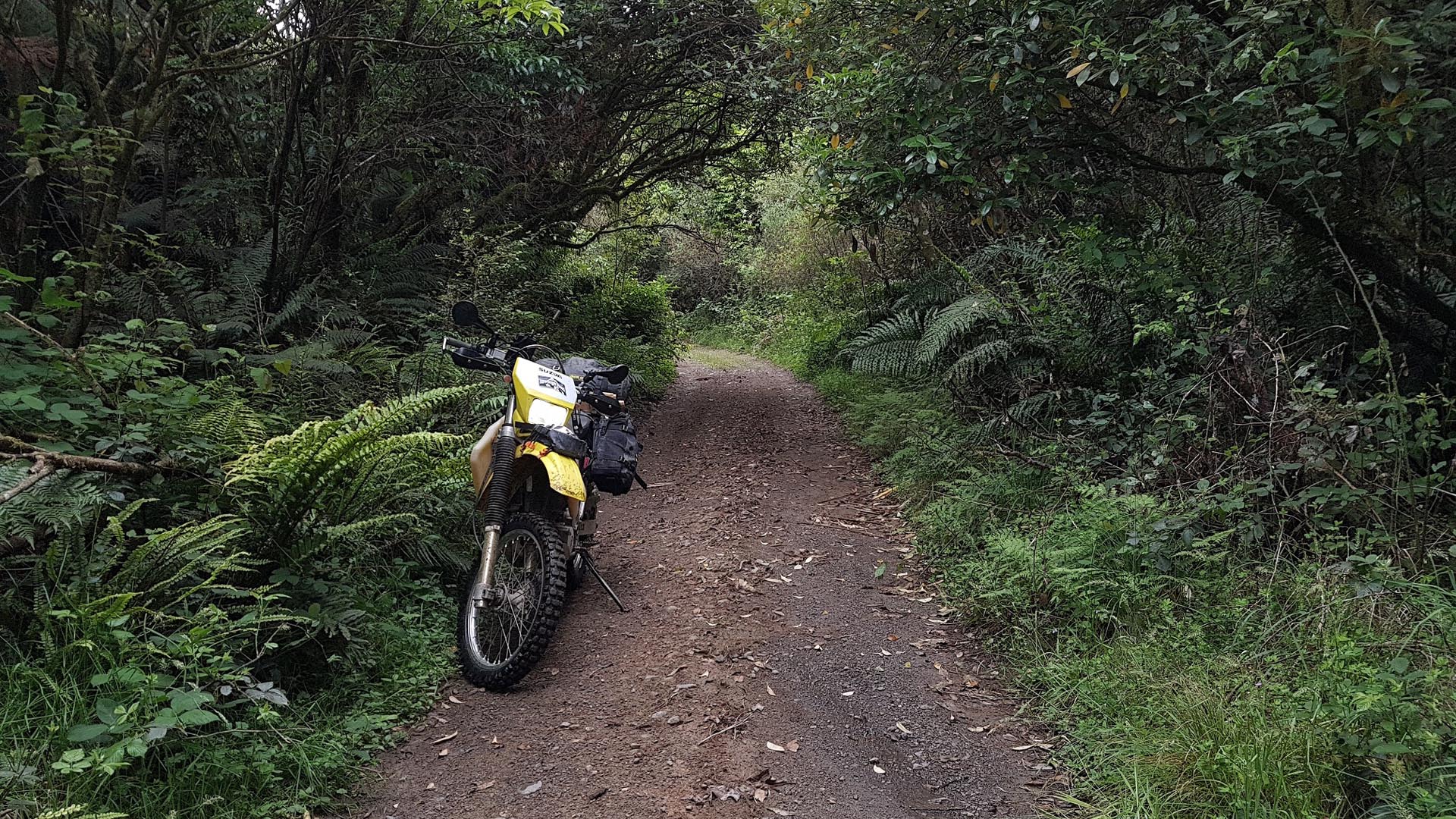
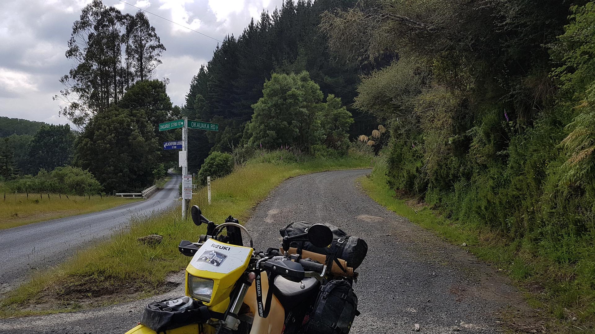
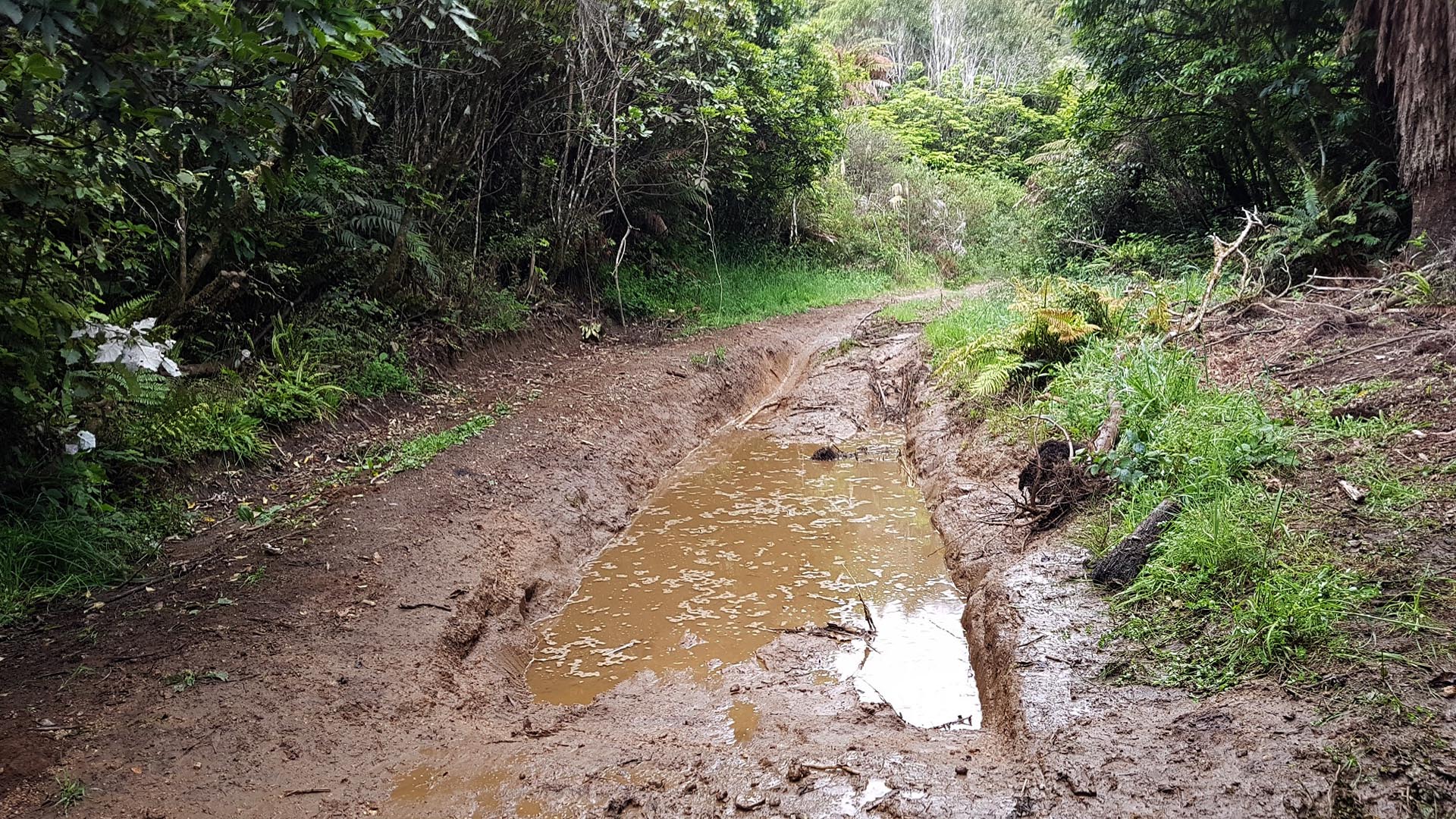
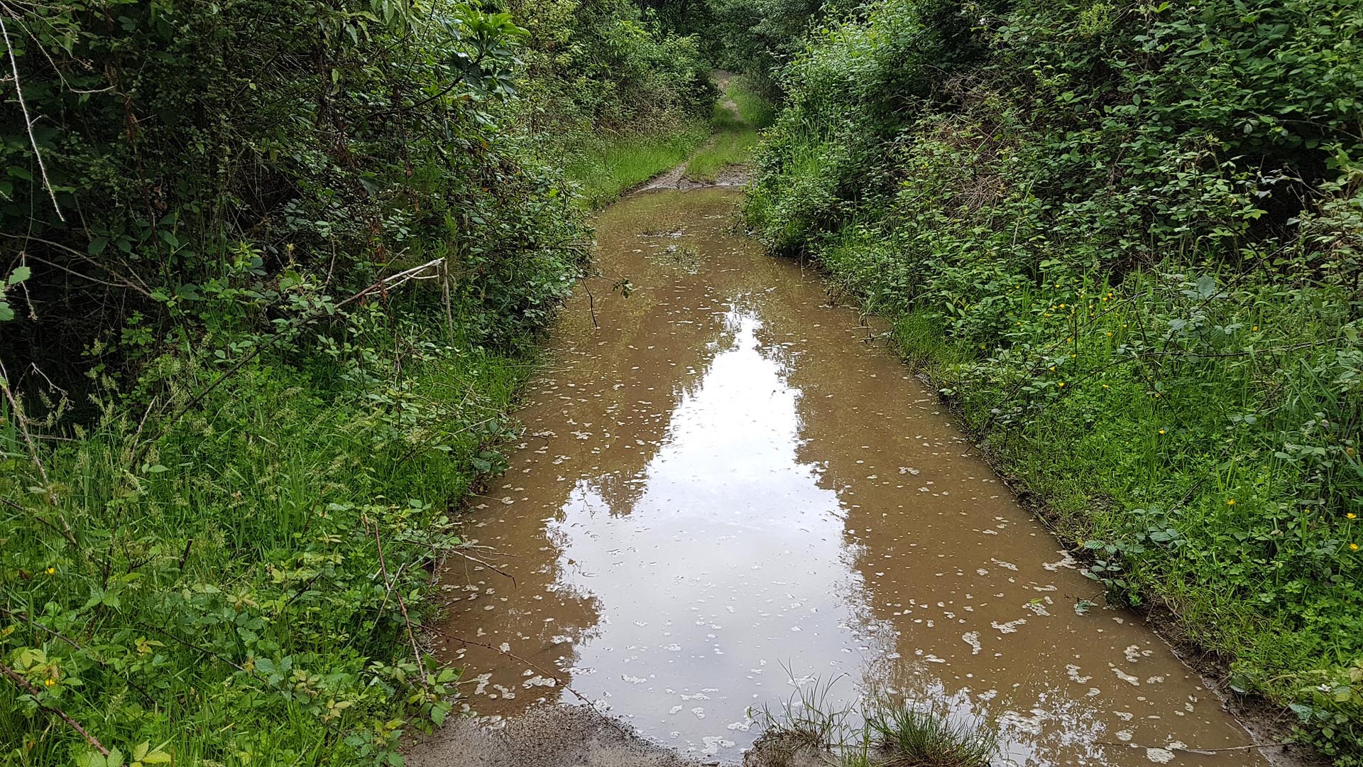
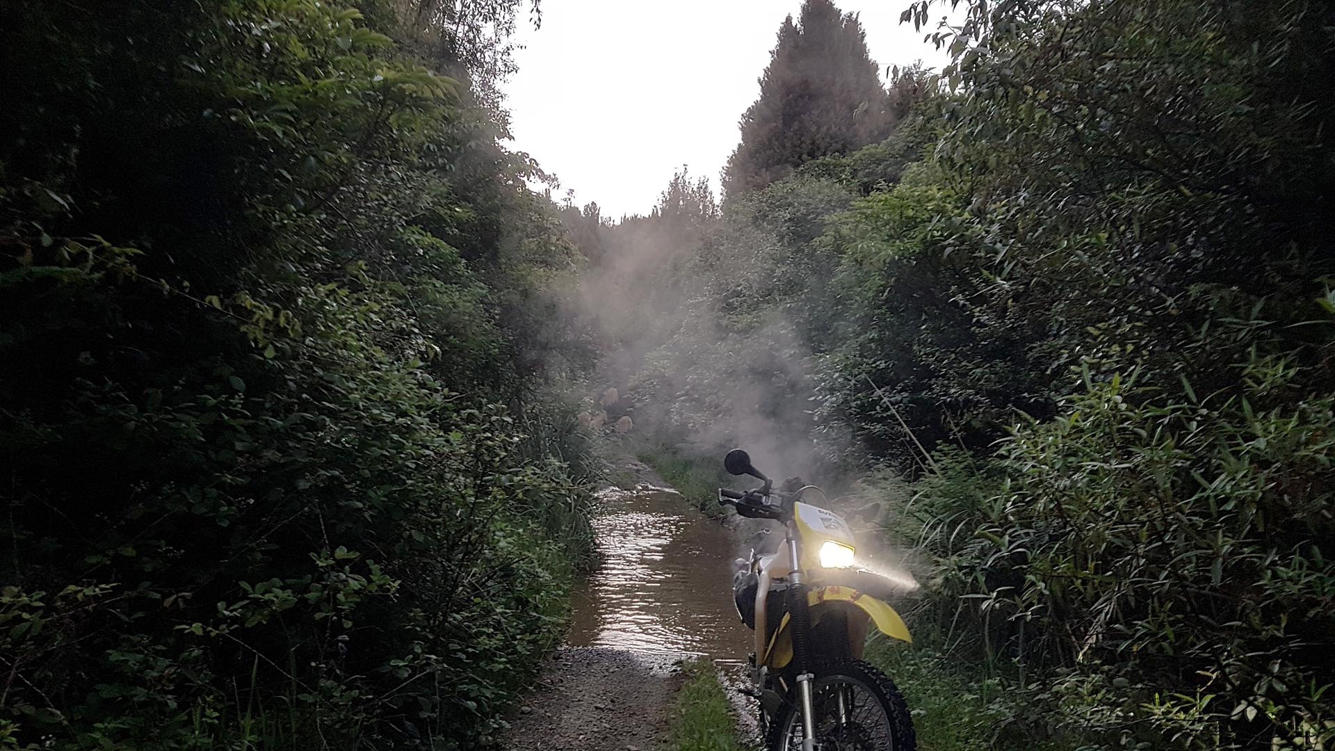
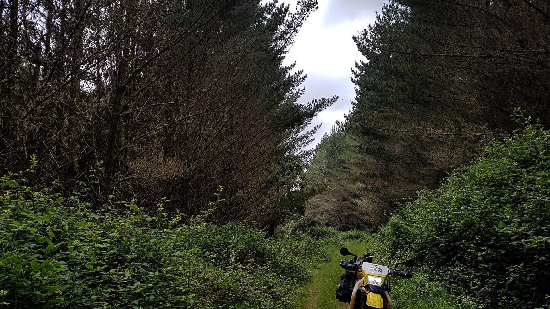
Okauaka Road can be used as an alternative to accessing/leaving Piropiro Flats. The 1st part from Ongarue Stream Road is a gravel road, which in itself is a nice ride tracking through forestry and even has some motorbike related Easter eggs if you can spot them! From there you arrive at a gate and the track gets bumpier until you meet another gate at the bushline. It’s here where the real interest starts. There are a few water/mud holes to contend with although the worst one has a diversion around it, all bar one seemed no deeper than the axles when I went through.
As this was a ‘road’ or perhaps a tramway from when the Pureora was logged there is a good base to the track and being relatively flat it isn’t too technical, and no trouble for a loaded up bike with knobby tires. It might be prudent to check the depth and base of the water holes 1st for heaver, lower and more road orientated bikes before proceeding however (the most innocent one gave me a fright when I first went though it!)
Near the eastern end of the track there is also a junction, going right will take you just south of Piropiro Campsite but it is a rougher route.
UPDATE: Okauaka Road is now closed / locked from the West end at Ongarue Stream Road.
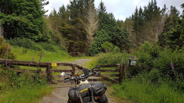
Contributed by: @daniel_fisher
Track type: Dirt Track
Track composition: Bumpy, Muddy, Flat
Slippery when wet? Yes
Suitable for bikes <650cc? Intermediate
Suitable for bikes >650cc? Intermediate
River crossings? No
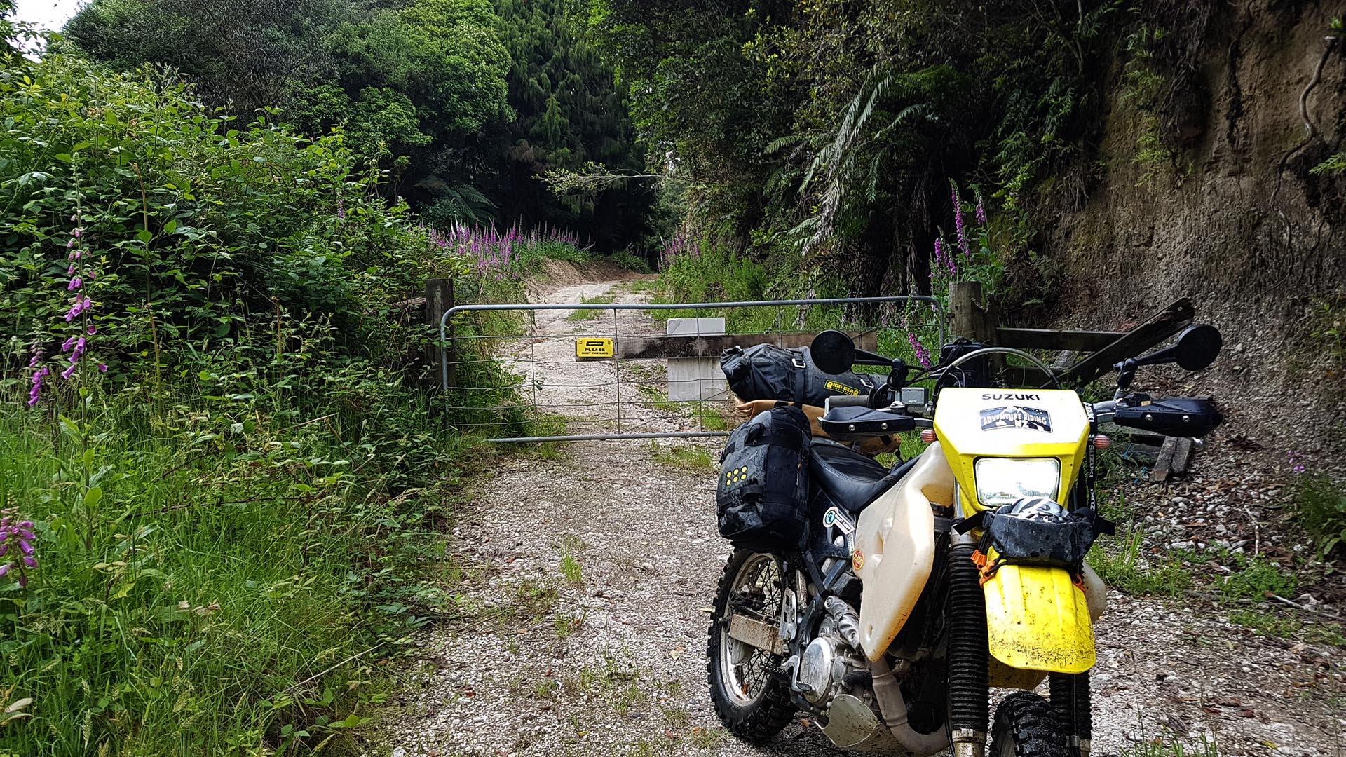
Okauaka Road is now closed / locked from the West end at Ongarue Stream Road.
A real shame that has happened. I’m assuming here (but would put money on it) that the forestry owners installed the gate in under the guise of “health and safety.” This road is a great safer alternative for motorcycles accessing this part of the Puerora. Kokomiko Road which runs parallel to the south is busy with oncoming vehicles due to the cycle trail, which ironically, tend to give you no room on.
The eastern end, at the boundary of the Puerora, the gate has been buried and several more piles of dirt and slash block the ULR heading west.