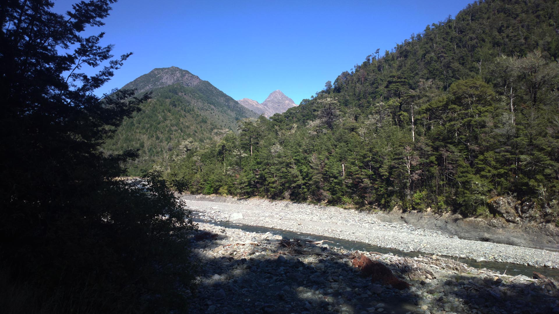
The Branch River Track is an easy 4WD track which follows the Branch River up for around 15km. It is a ride in and out on the same track
but could be done in conjunction with the Leatham River Road which is the starting point for this ride.
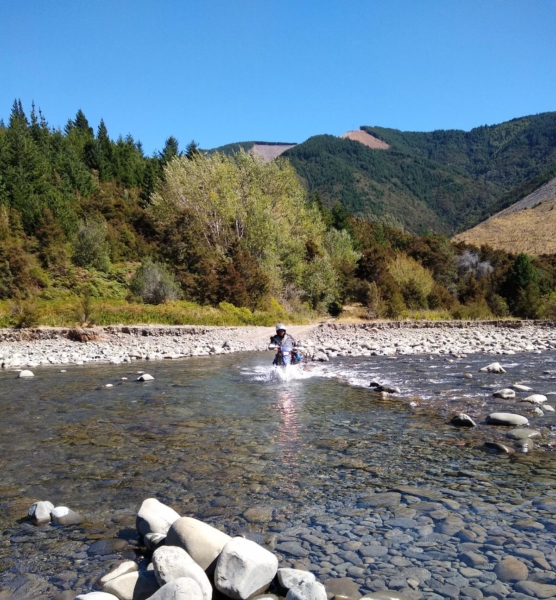
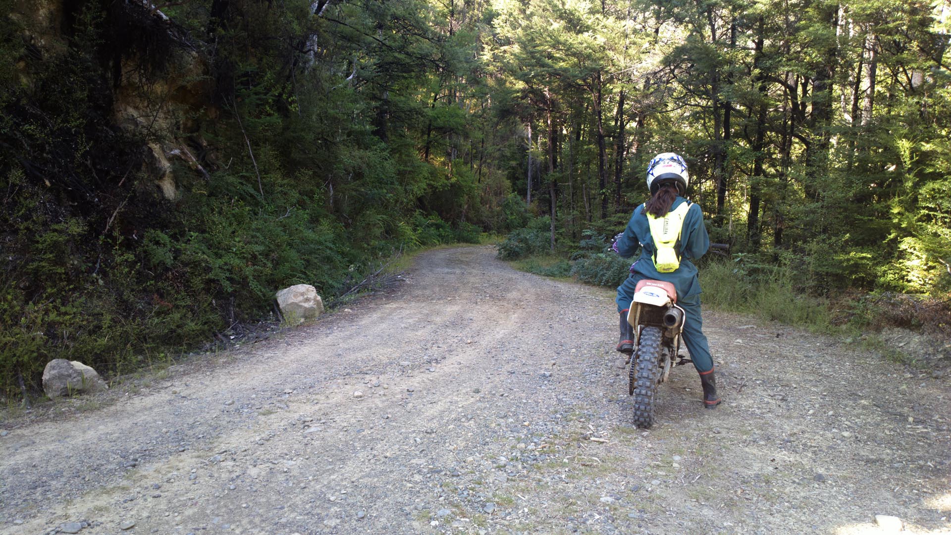
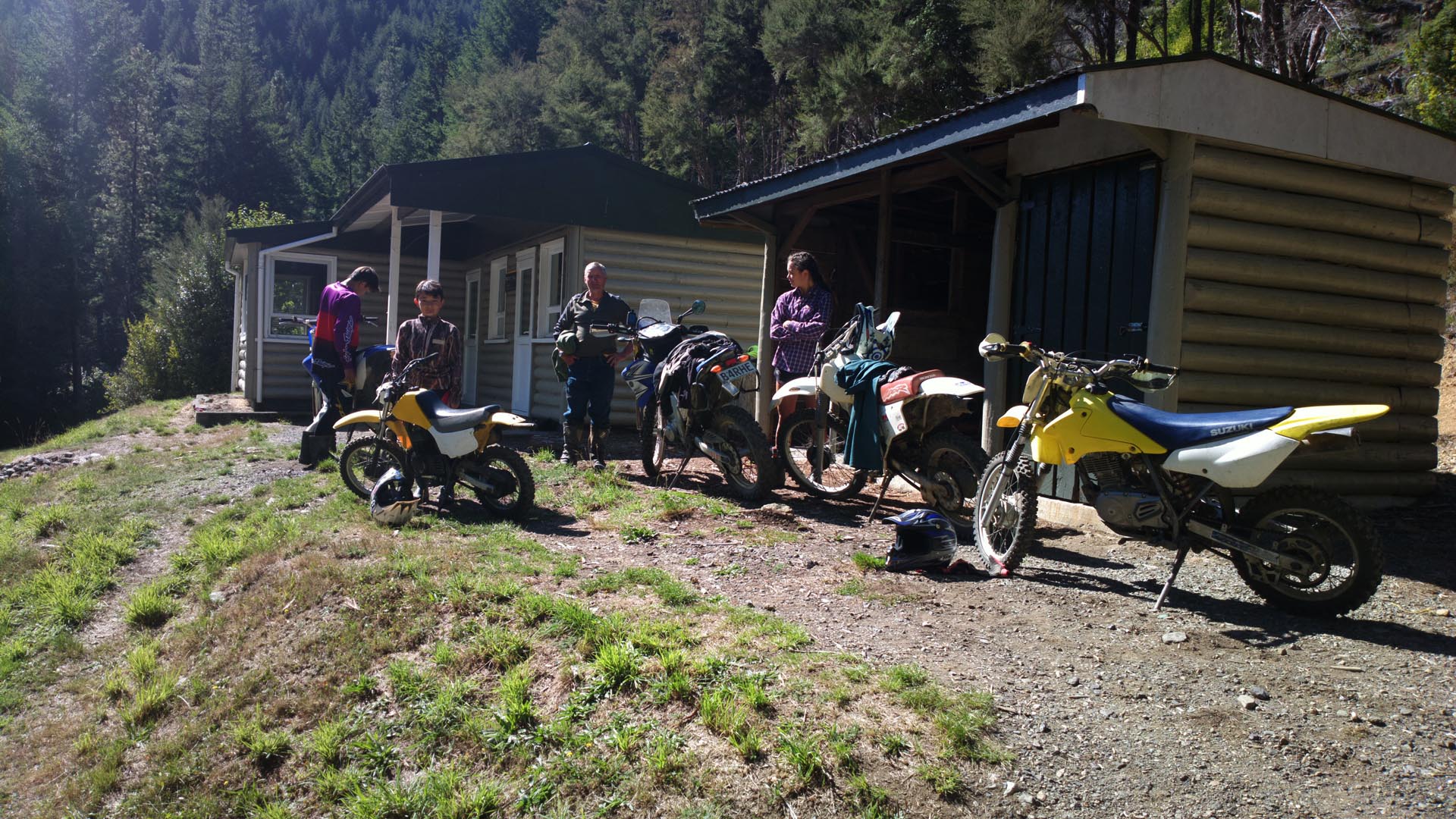
There is one river crossing at the very start which the difficulty level is totally dependent on the river level, it was about 35cm deep when we went through so easy enough. From there it is an easy ride through Beech forest with some small creek crossings to the end where there is a DOC hut.
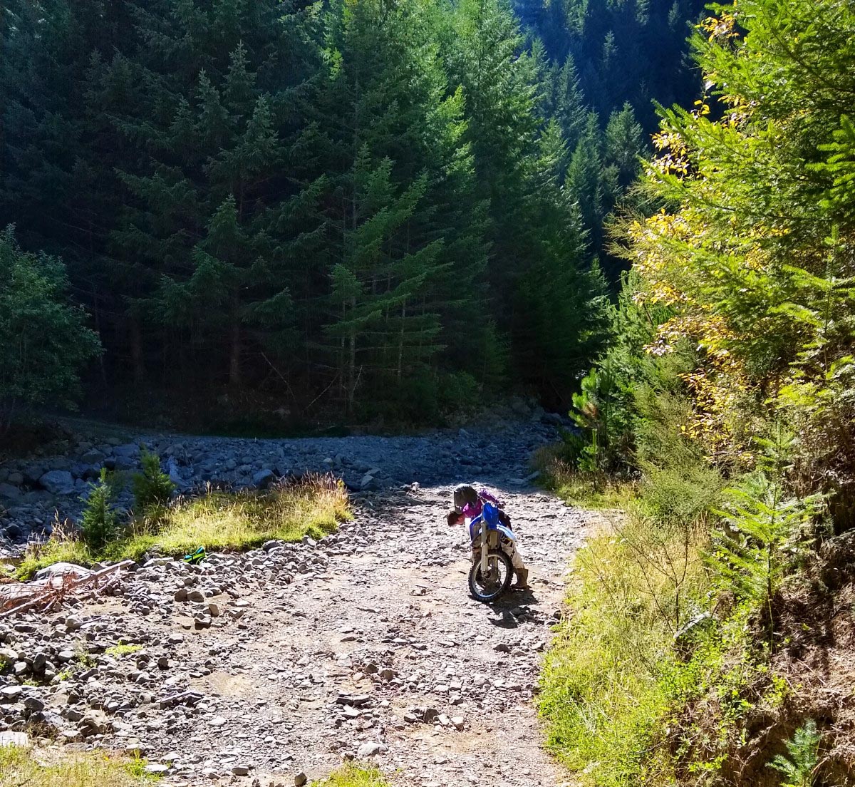
From the end there is another forestry track which starts behind the hut and heads up the hill fairly steeply, I didn’t tracklog it but it goes from 600m altitude to 1200m in around 3km, and really only suitable for smaller lighter bikes as it gets a bit tricky in one place.
Contributed by: @ljhfarm
Track type: Gravel Road
Track composition: Bumpy, Firm, Undulating
Slippery when wet? No
Suitable for bikes <650cc? Beginner
Suitable for bikes >650cc? Intermediate
River crossings? Yes
Was in this area yesterday went down the Leatham River track great ride to the end hut couple of rivers to cross at the higher end of my comfort zone epic day