Barron Flat lies just at the bottom of the Takaka side of Takaka Hill SH60 between Takaka and Motueka and is a little known track but a fantastic ride. On a mountain bike you can get all the way through to Mt Arthur but for Adventure Riders there are locked gates where our access ends.
The track from Cobb Valley Road to the track end near Barron Flat crosses various different pieces of land including conservation land, private land and formed legal road so please keep to the formed track. It’s quite likely there will be cattle or sheep on the sections that pass over private land.
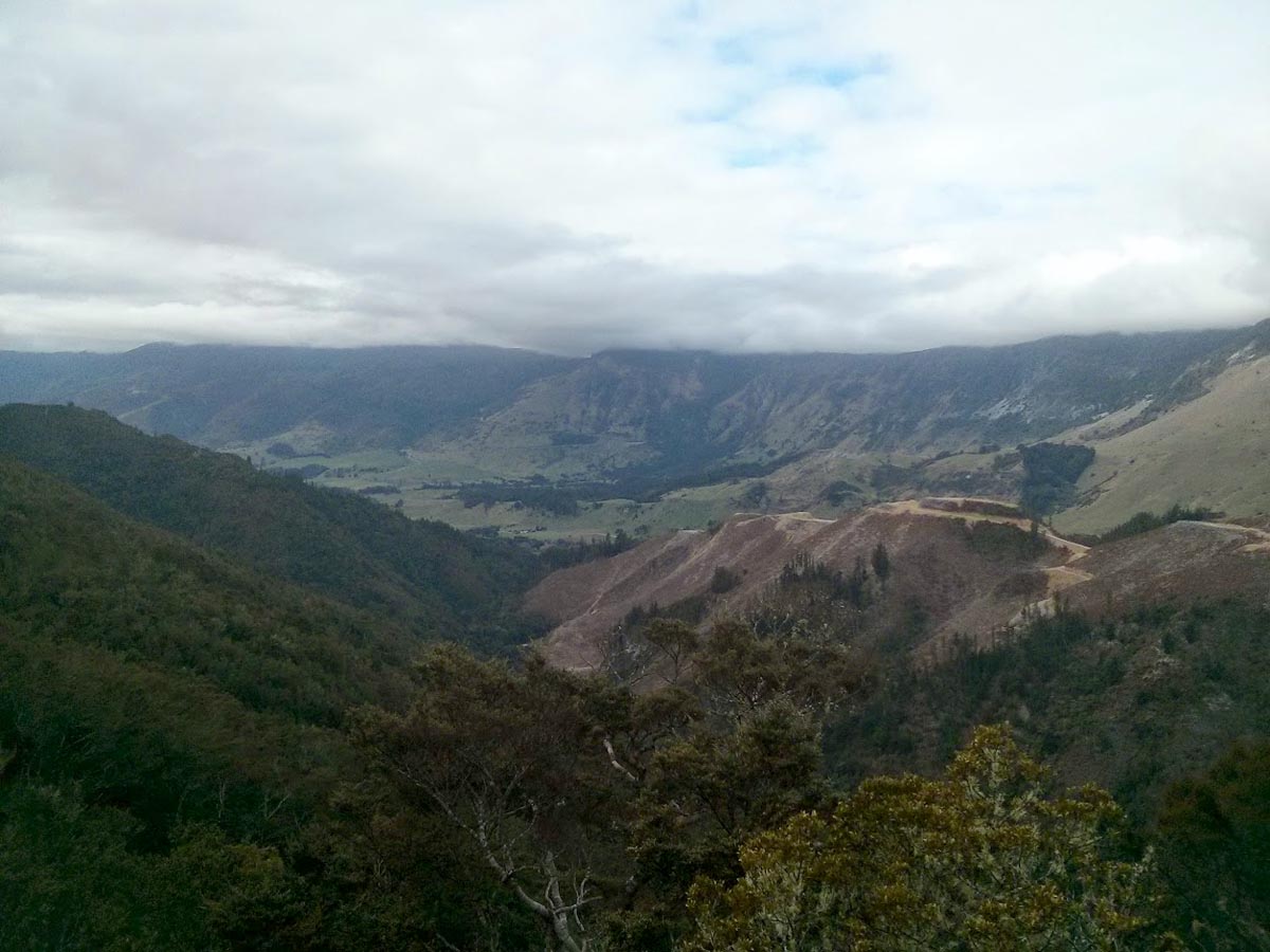
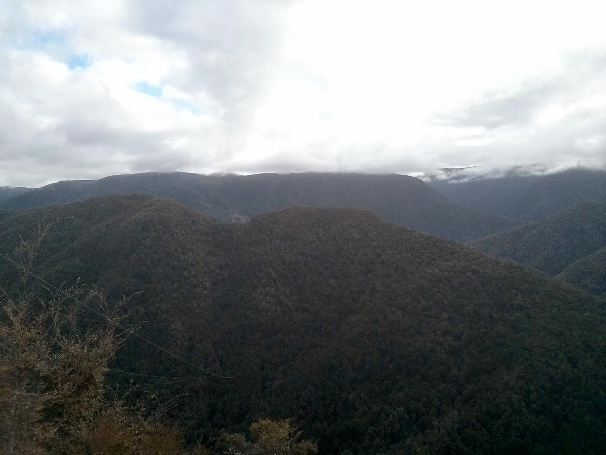
Barron Flat track mostly runs through native bush and can be quite rough and you may strike large rocks and some mud as well. At the very start there is one river crossing that is about a foot or so deep with a rocky base and a steep exit.
Barron Flat is popular with mountain bikers who will usually travelling from Mt Arthur end through Barron Flat and onto Cobb Valley Road as that direction is mostly downhill.
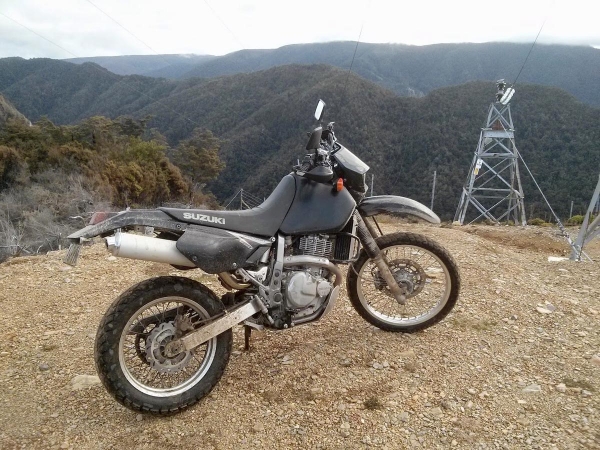
Contributed by: @roger-irwin
Updated 19/03/2019 by: @chriscole
Track type: Dirt Track
Track composition: Rough, Loose, Undulating
Slippery when wet? Yes
Suitable for bikes <650cc? Experienced
Suitable for bikes >650cc? Experienced
River crossings? Yes

Thanks to @Chris Cole for an updated tracklog for Barron Flat, due to flooding and bridge damage the entrance to Barron Flat has moved.