WP GPX Maps Error: GPX file not found! /home/adventur/public_html/wp-content/uploads/gpx/Black_Jack_Road_250.gpx
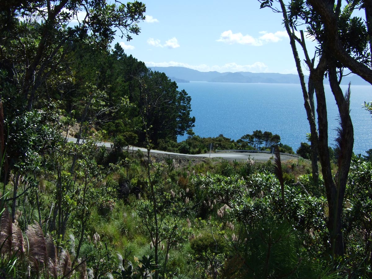
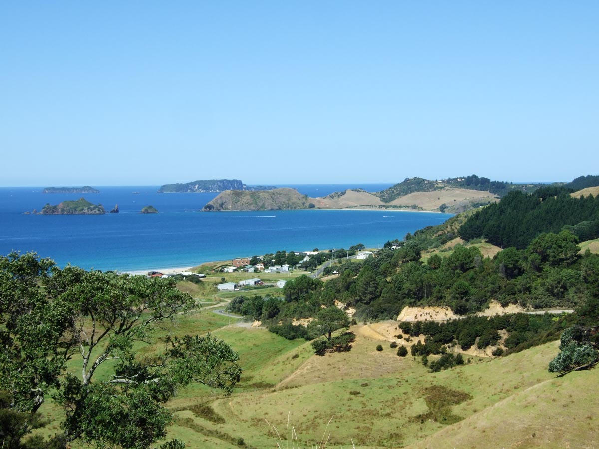
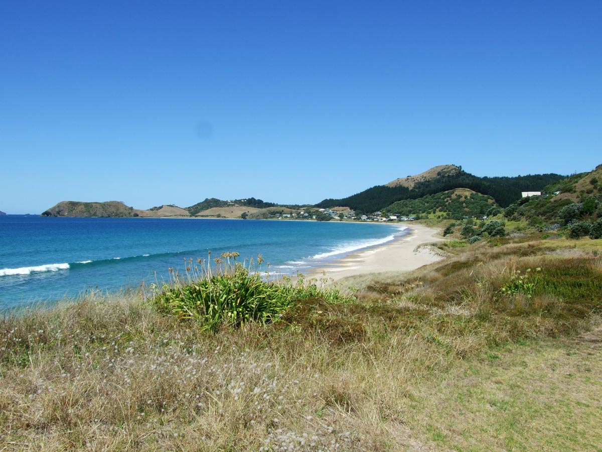
Black Jack Road runs from the North eastern corner of SH25 at Kuaotuna out to the peninsula settlements of Otama, Opito Bay and Matapaua Bay. The first section of road is sealed and is very steep with some very tight corners, after which the road turns to gravel except for where it runs through each settlement.
Black Jack Road is only 12km’s long but as with most roads around the Coromandel it offers fantastic views out to sea and the islands and would a great picnic lunch stop.
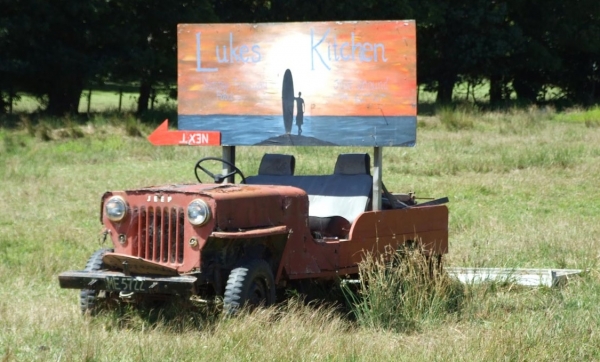
An old Jeep by the turnoff from SH25 to Black Jack Road
Track type: Gravel Road Track composition: Smooth, Firm, Steep Slippery when wet? No Suitable for bikes <650cc? Intermediate Suitable for bikes >650cc? Intermediate River crossings? No
Invalid download ID.
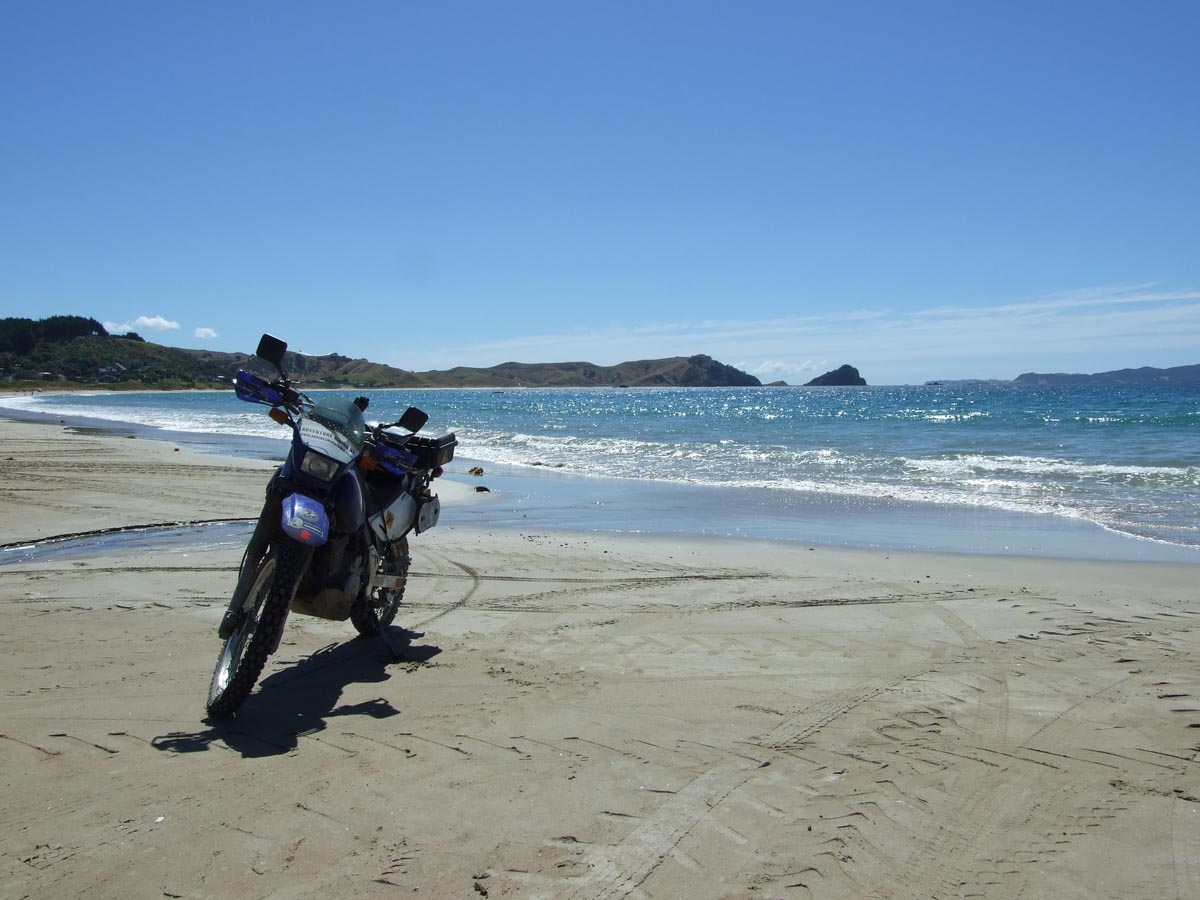
Some of the corners on Black Jack Road are very steep and tightLooking down at Opito BayOpito BayOn Opito Bay BeachOn Opito Bay Beach
I was around the Coromandel area 2 weeks ago so went up to Black Jack Road right to the end this time, so the GPX files have been updated with the full road.


I was around the Coromandel area 2 weeks ago so went up to Black Jack Road right to the end this time, so the GPX files have been updated with the full road.