Harper Road is also in the Lake Coleridge area, running up the eastern side of the lake off Lyndon Road. It’s to the east of Double Hill Run Rd and on the opposite side of Lake Coleridge from Algidus Road.
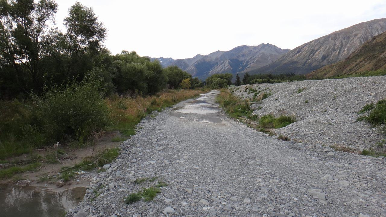
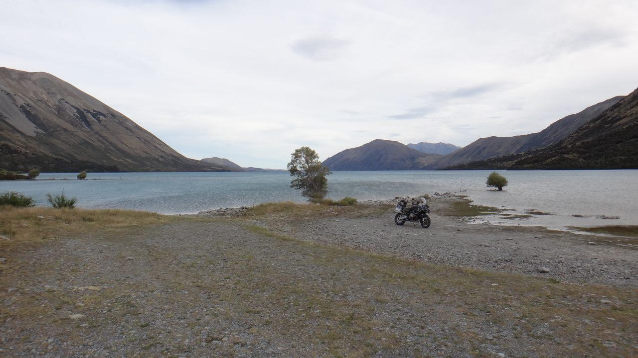
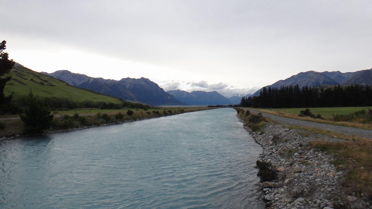
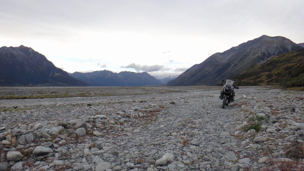
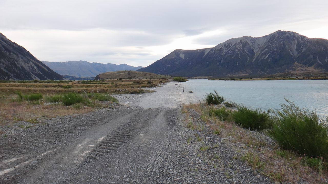
Harper Road ends by the Harper River with a few houses, and is well graded and mostly wide. From the end of the road there are many tracks taking you to places such as the Harper Road Diversion, the northern end of Lake Coleridge, the Oakden Canal and various viewpoints. We have included a number of waypoints in the GPX file for these.
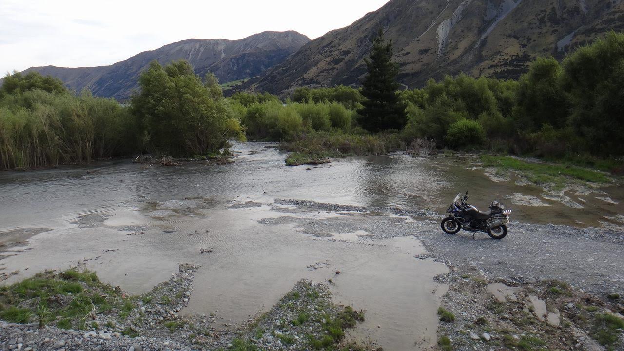
The tracks are usually easy and nicely graded though after recent rain could contain long water crossings and in winter and spring could be under snow and ice or in flood. It is up the the individual to assess the track conditions against their riding experience.
From the top of the Harper Road – Lake Coleridge North side track riders can continue onto the Wilberforce River track.

Contributed by: @gremlin
Track type: Gravel Road
Track composition: Smooth, Firm, Undulating
Slippery when wet? No
Suitable for bikes <650cc? Beginner
Suitable for bikes >650cc? Beginner
River crossings? No
Africa Twin, WR250, DR250 and KLR650? Short blast? A ride to Harper Road, around Lake Coleridge
Please check the video from my recent ride
https://youtu.be/2WTwN4uLyE4