WP GPX Maps Error: GPX file not found! /home/adventur/public_html/wp-content/uploads/gpx/Jollies_Pass.gpx
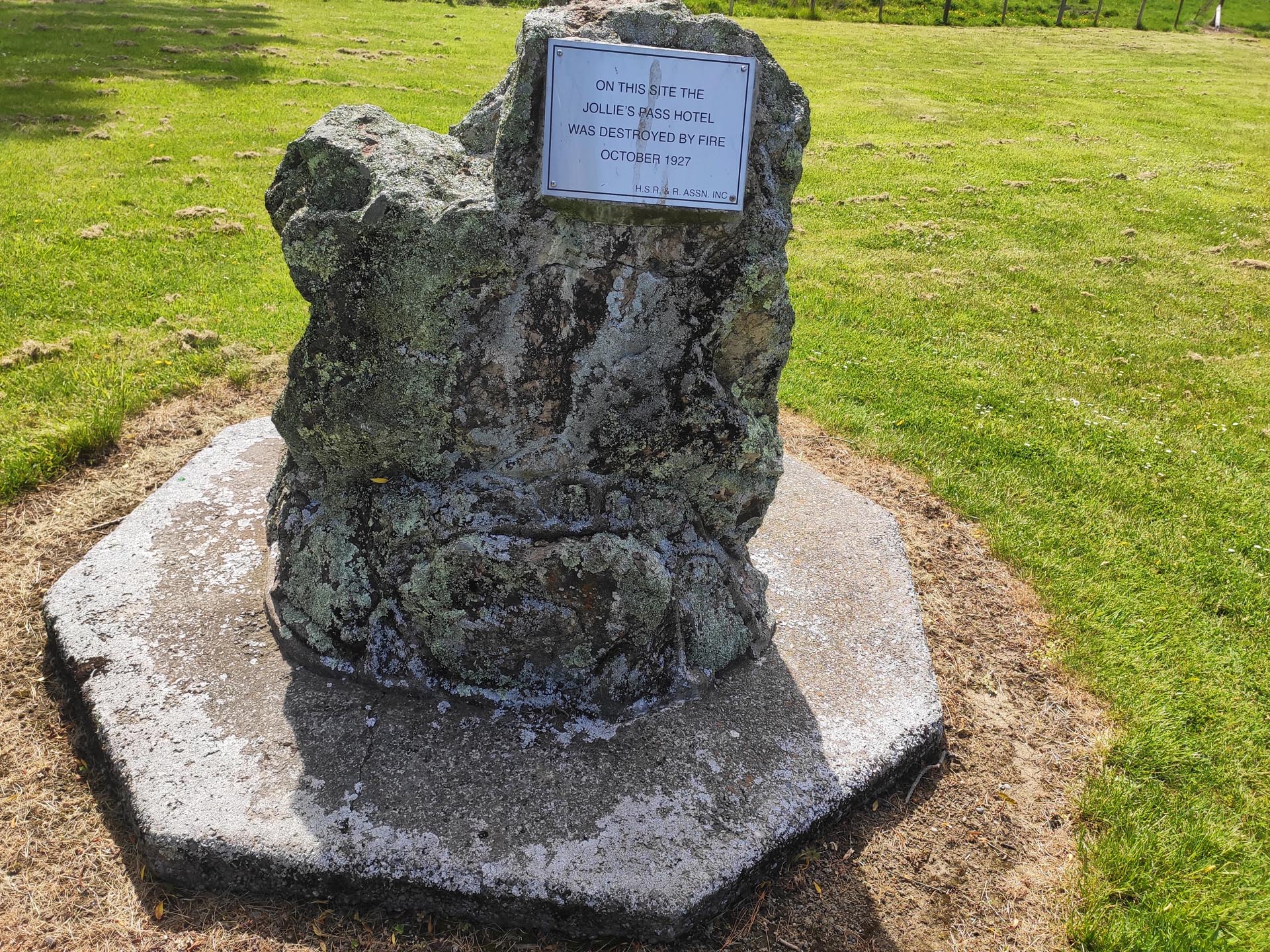
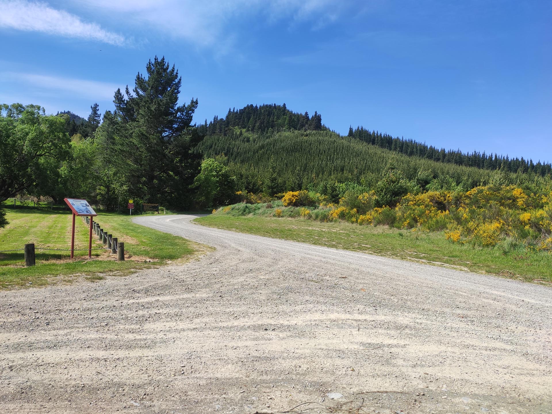
There are 2 ways to get from Hanmer Springs to The Rainbow Road and Molesworth Station or vice versa. One is Clarence Valley Road from the upper West side of Hanmer Springs and the other is Jollies Pass on the Upper East side of Hanmer.
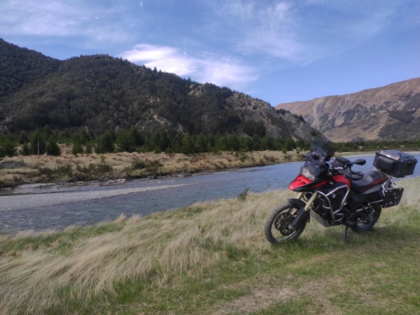
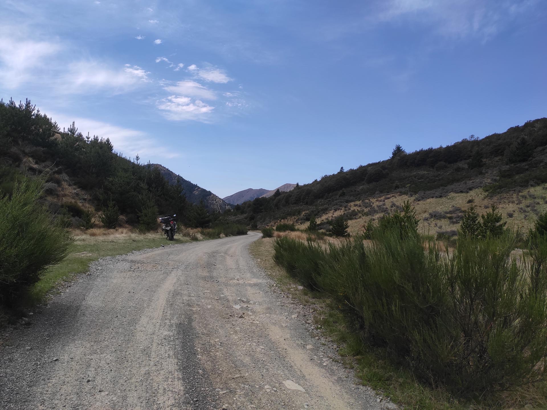
Jollies Pass is the ‘more interesting’ of the two, being more rugged/less maintained, narrower, and steeper than Clarence Valley Road.
just came over Jollies from the Molesworth ina 4wd. more than interesting. back wheel of the car was a foot off the ground going over one big rut. Would be a real handful in the wet.
I’m heading up that way from Hanmer end on the 8th Jan, anyone know how it is in the rain? New to off road riding ?
just came over Jollies from the Molesworth ina 4wd. more than interesting. back wheel of the car was a foot off the ground going over one big rut. Would be a real handful in the wet.