Kawautahi Rd is situated in the National Park area and is a good alternative to the tar sealed Oio Road to/from Owhango if riding Fishers Track, it’s SH4 end is also minutes from the Western end of The 42nd Traverse.
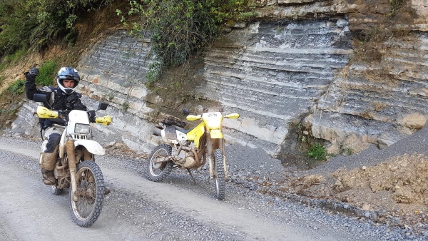
From Owhango, Kawautahi Road winds back and forth up the Kerry Hills, showing off some geological formations of interbedded sandstone and mudstone created by underwater landslides from the Tertiary period, likely 10’s of millions of years old. It then follows Kawautahi Stream for most of it’s length before crossing the Retaruke River ending at Oio Road.
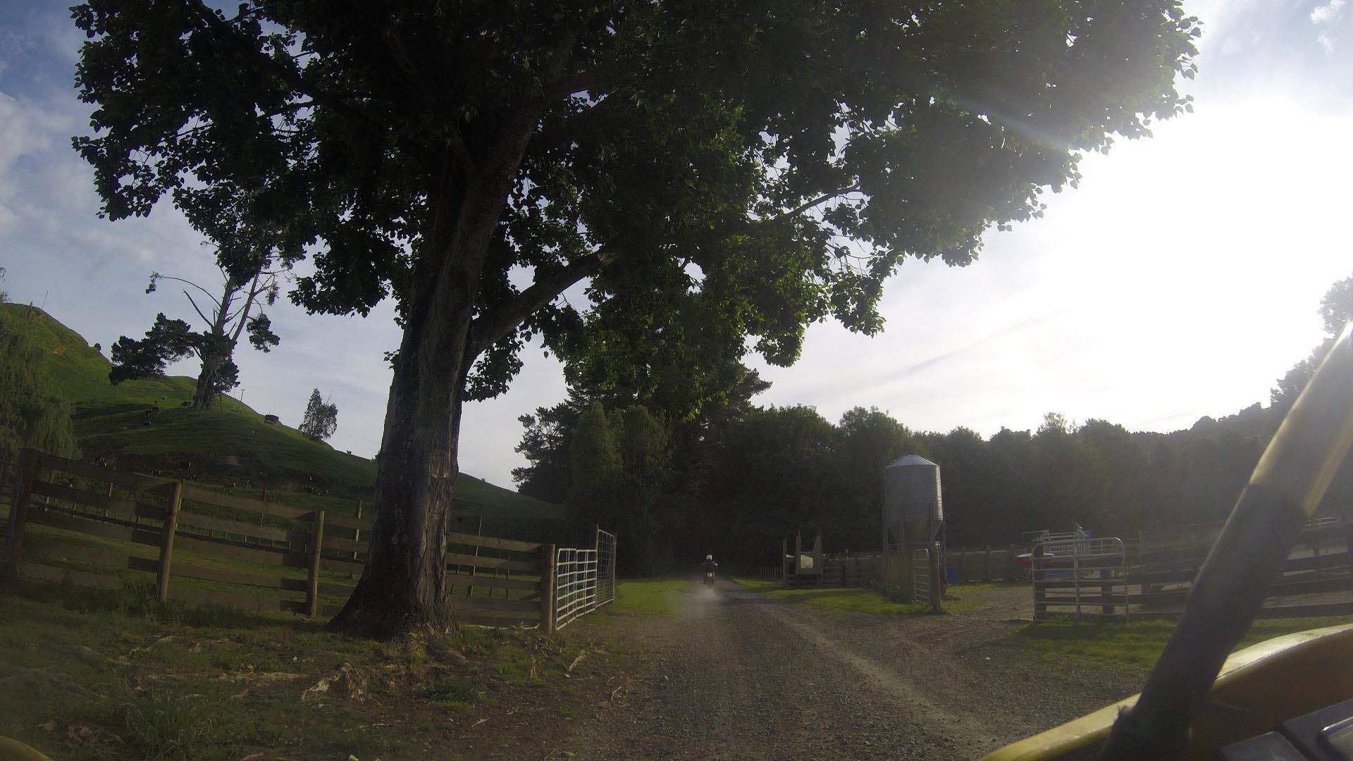
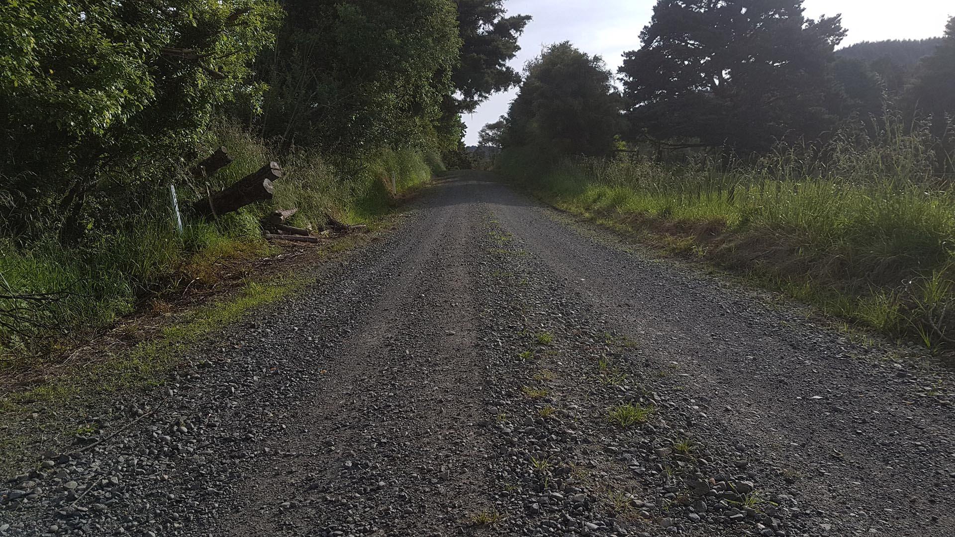
The road can make you feel like your ‘in the wopwops’ with the bush, farmland and grass growing in the centerline but don’t be fooled. We came across a large tractor, a kid on a dirtbike and several utes, so caution is needed and to not take liberties with the corners.
Contributed by: @daniel_fisher
Track type: Gravel road
Track composition: Smooth, Firm, Undulating
Slippery when wet?: Yes
Suitable for bikes <650cc? Beginner
Suitable for bikes >650cc? Beginner
River crossings? No