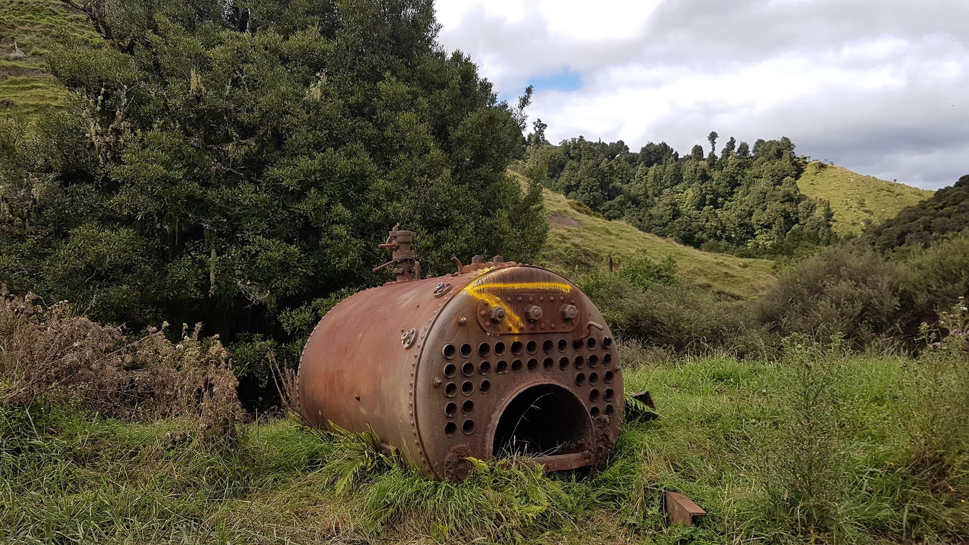
The Moki track was built with wheelbarrow, pick and shovel as early as 1910 as a road to service the farms for solders after WW1.
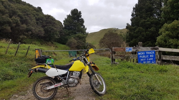
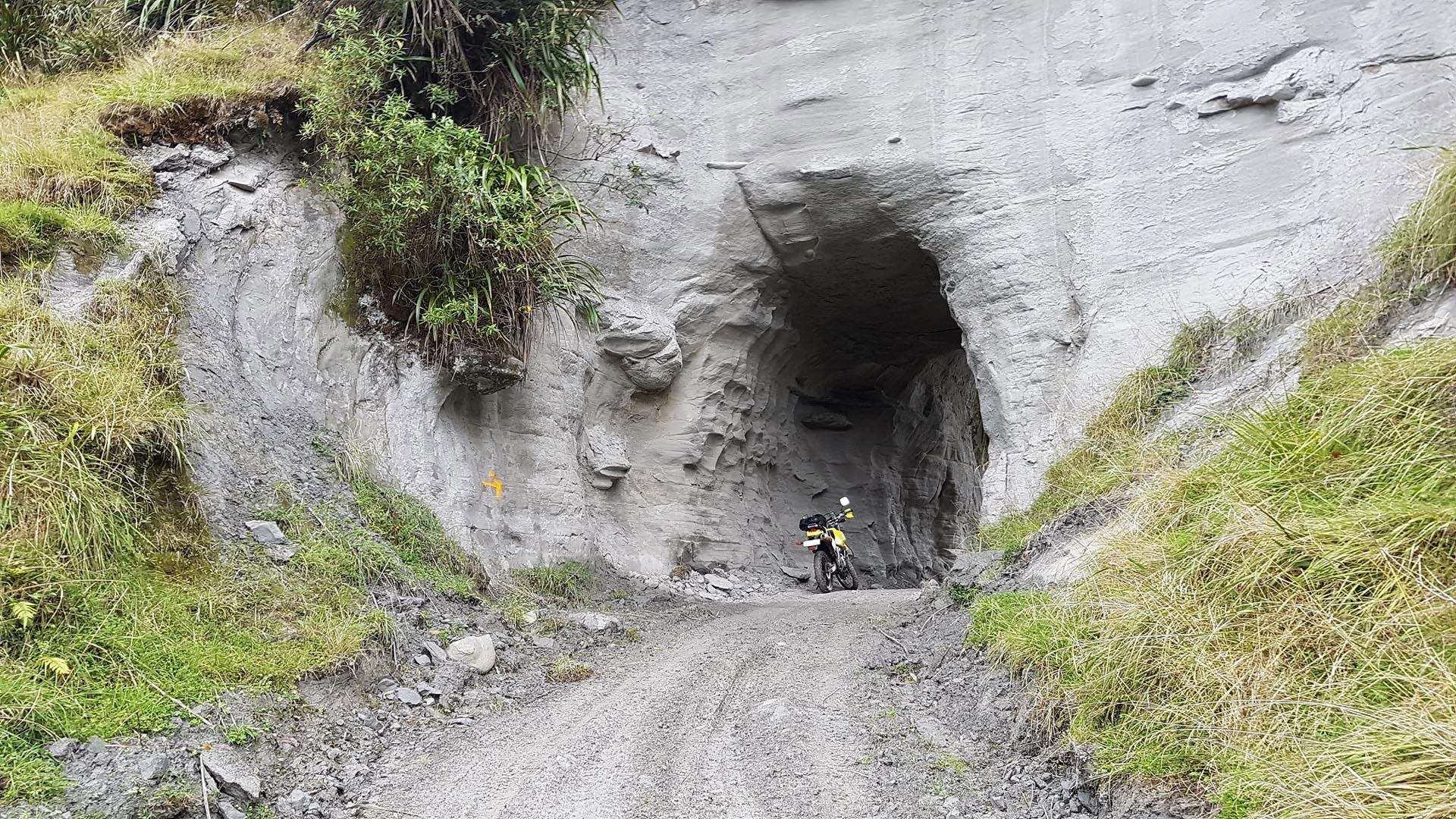
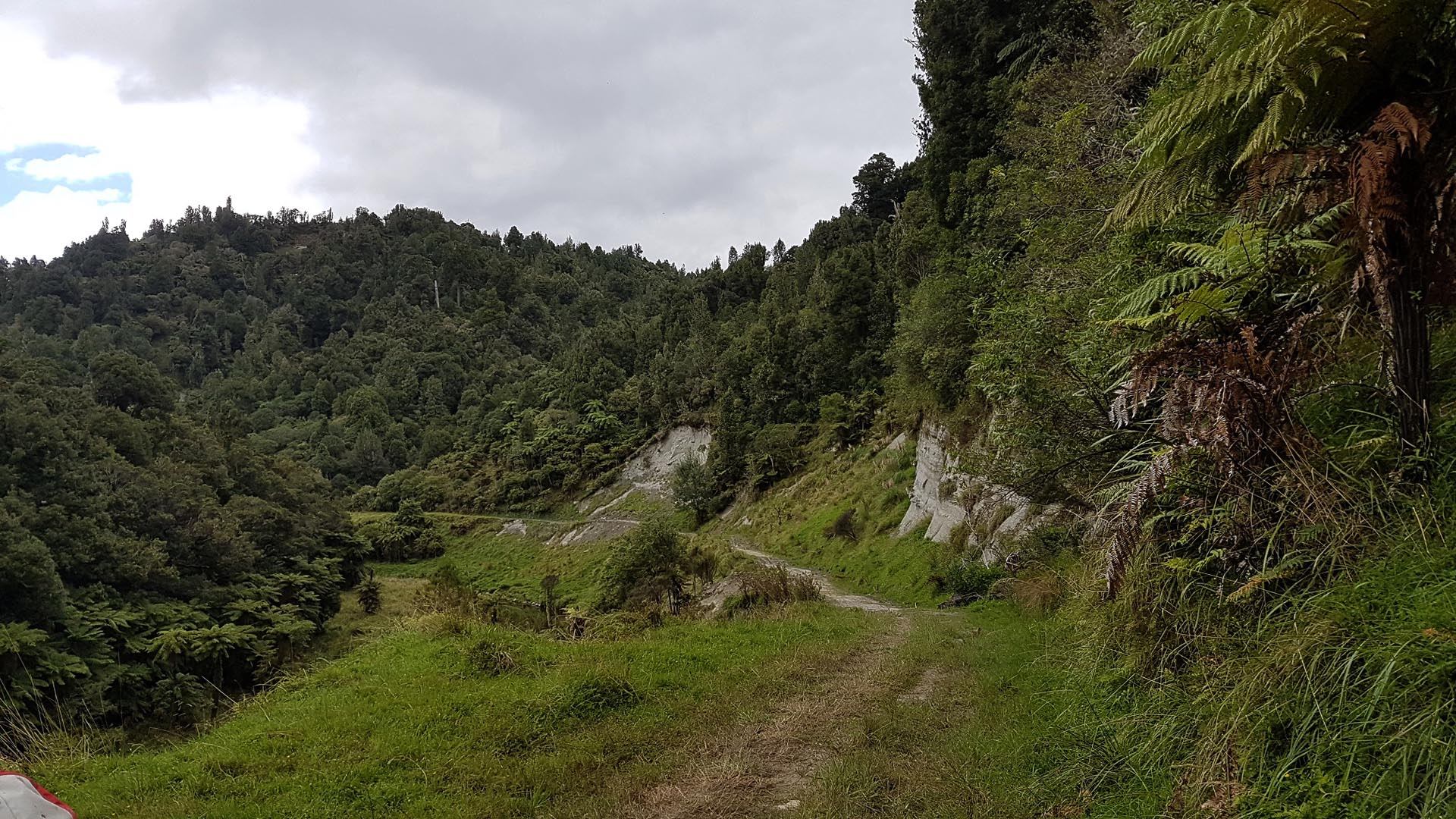
Moki Road itself starts off at Uriti Road in the east, turns into a paper road following the Waitara River, before continuing as a road to SH43. This GPS log is concentrating on the paper road to a mostly unknown tunnel (it’s not even on Topo maps!) Moki Track can be found off the southern end of Kiwi Road.
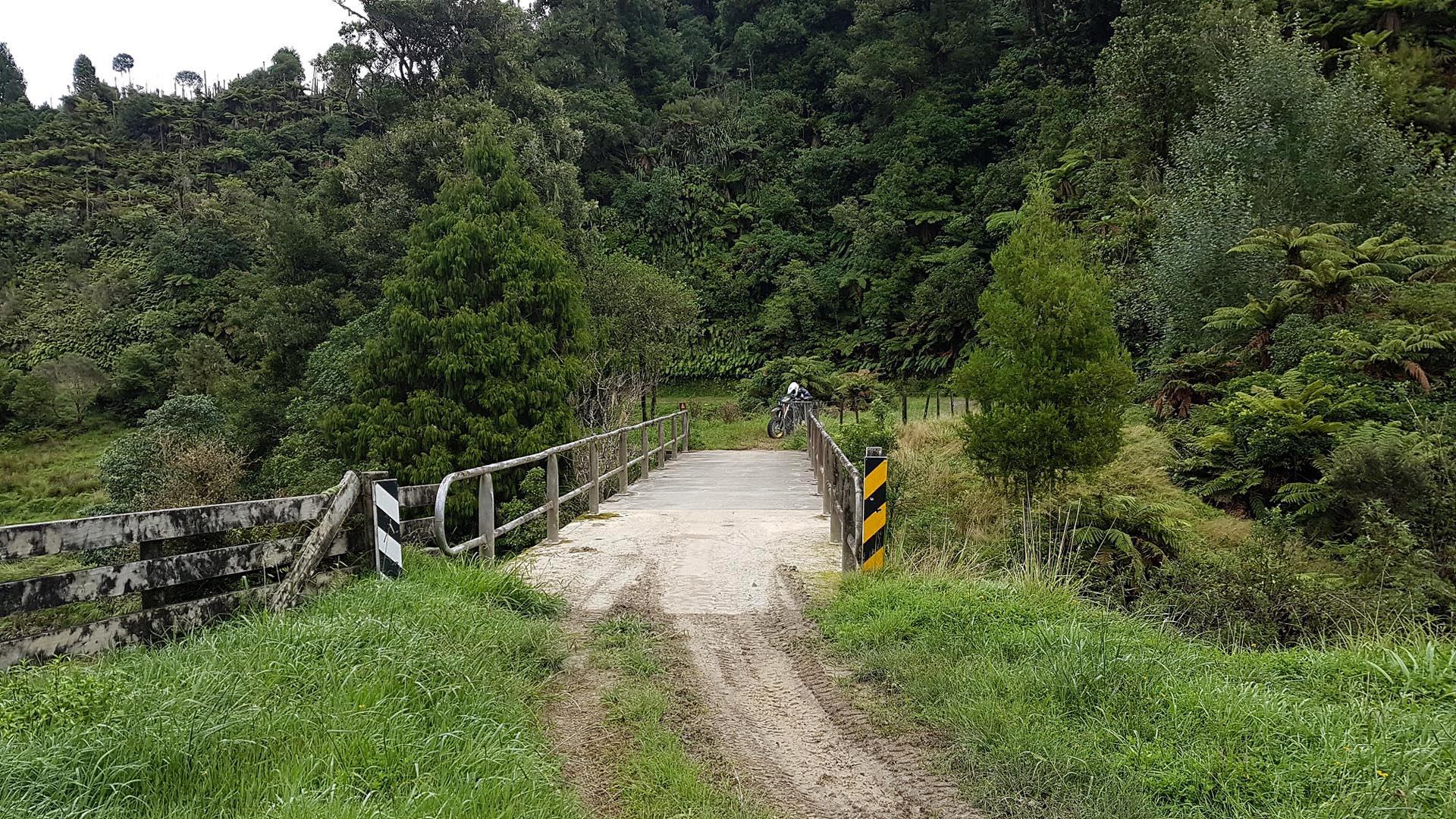
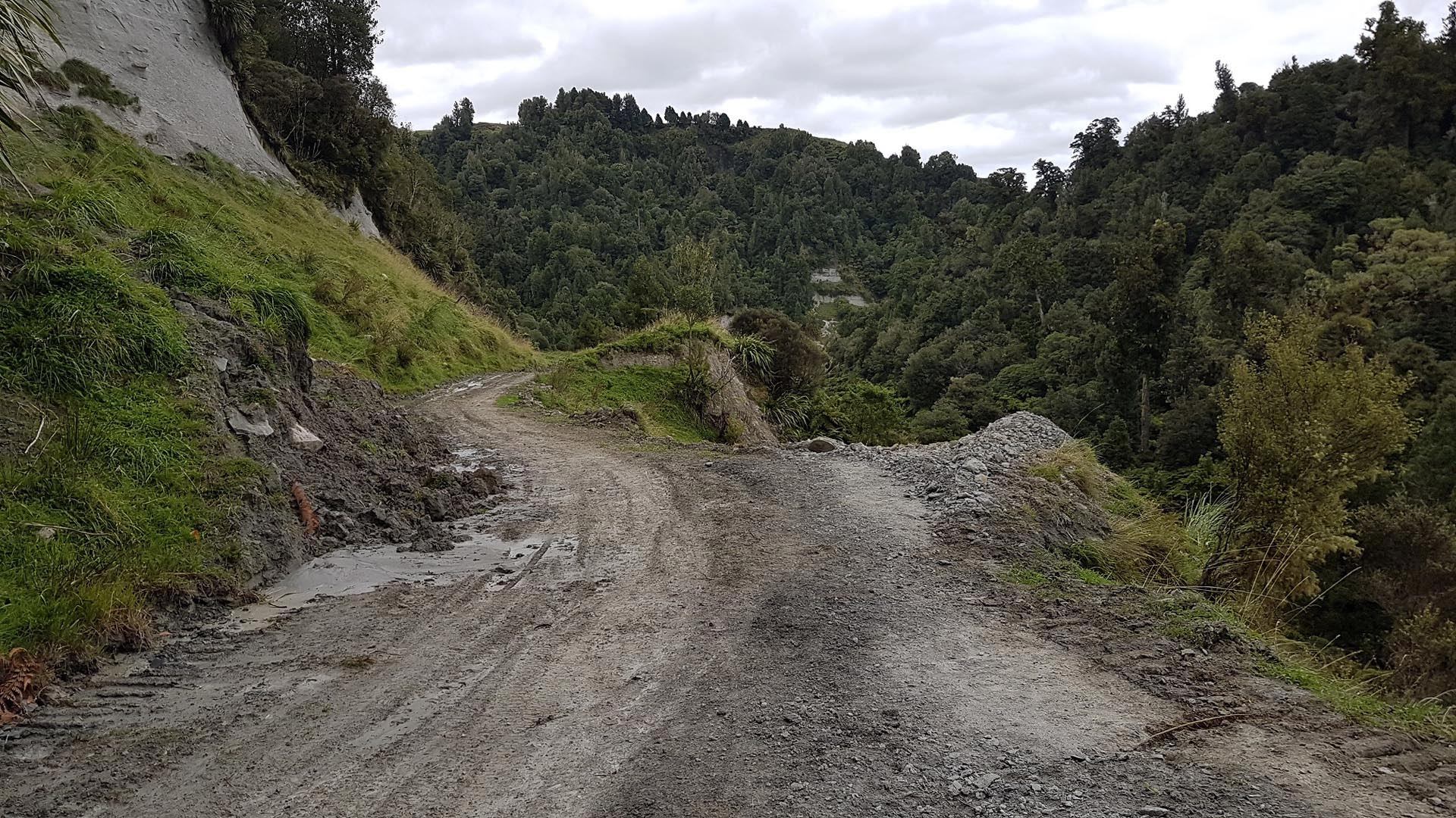
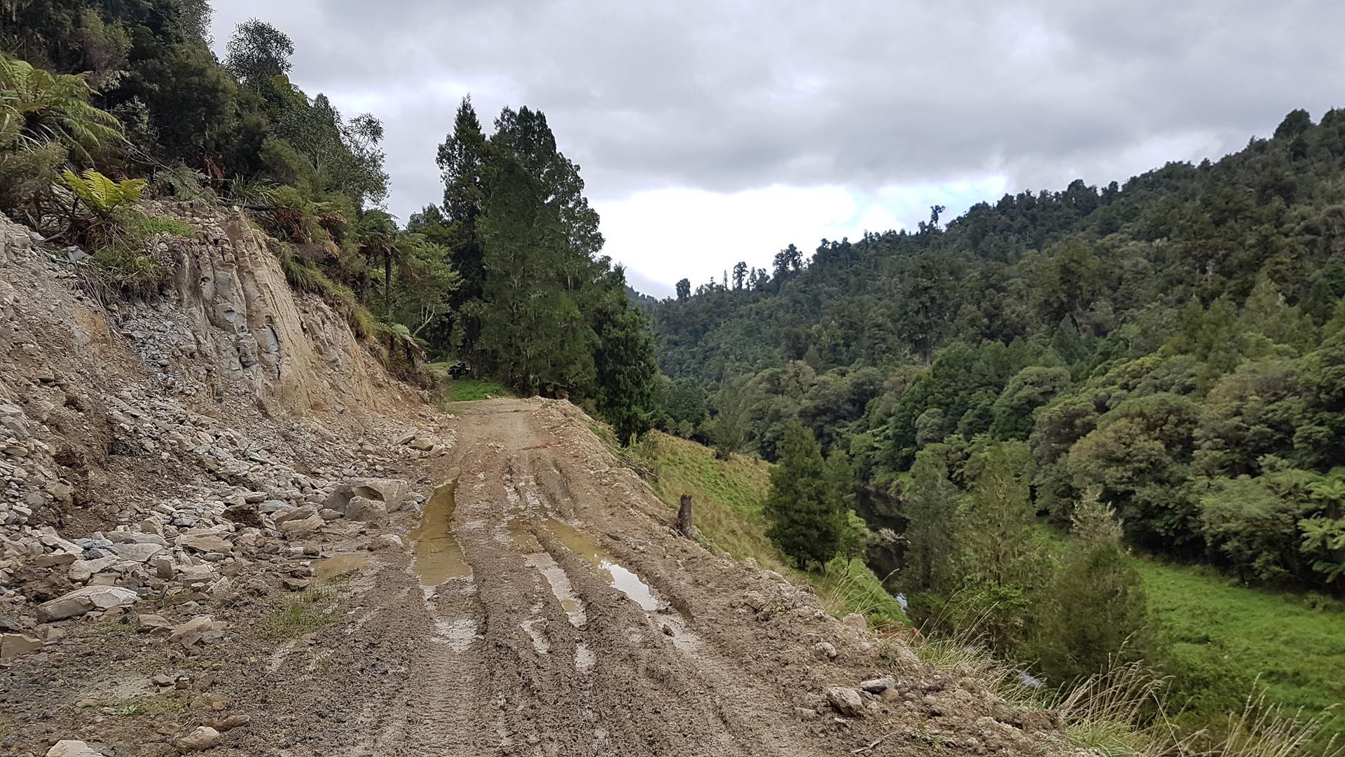
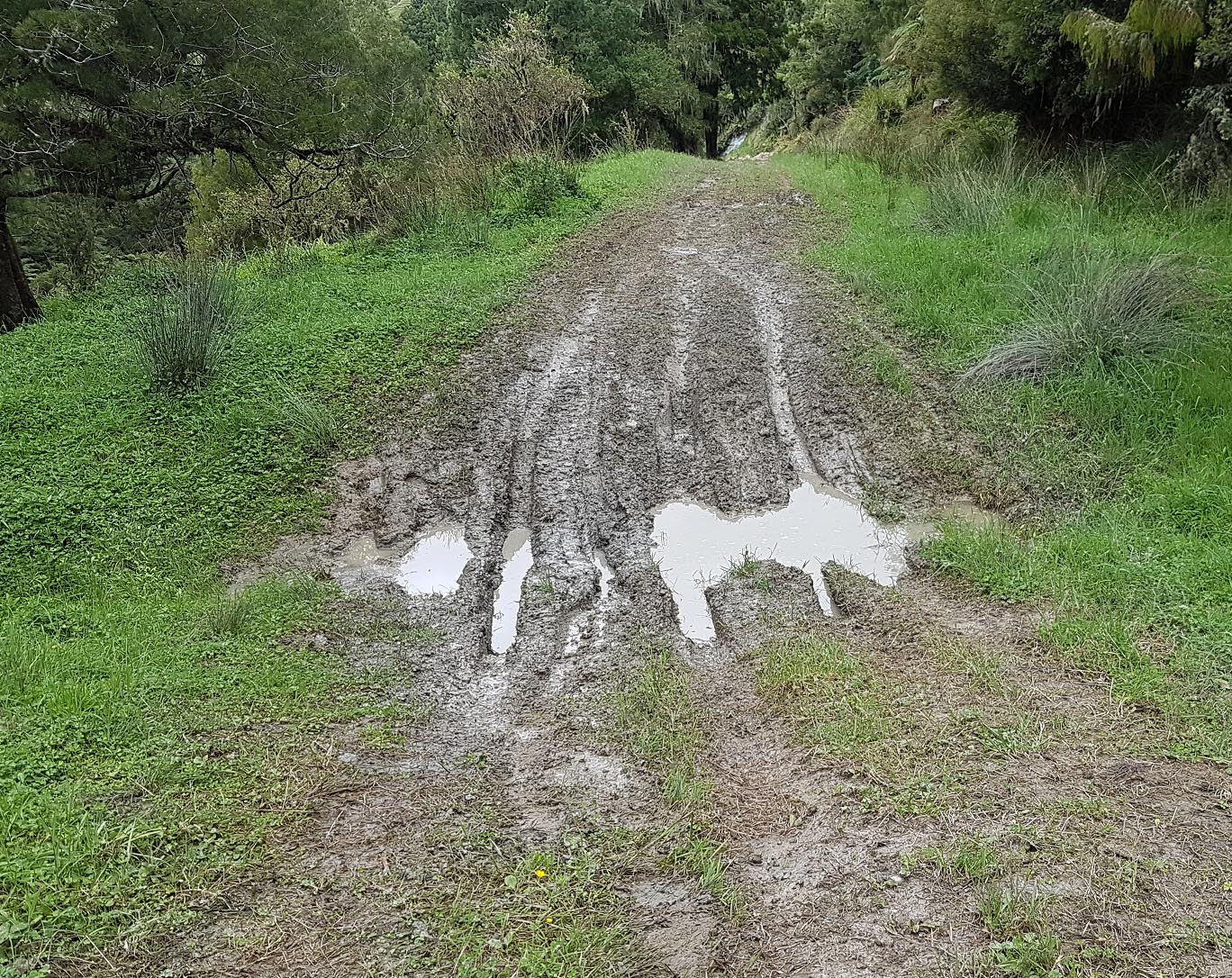
The 1st part to the gate at the bridge is pretty easy stuff. After the gate it gets muddier with steep drops into the river below, then after the tunnel there are bogs to cross. The bog in the video was up to the axle, so decided to turn around when we encountered 3 more in a row. Doable, but not far ahead of that it turns into a Tramping / Advanced Grade:4 Mountain bike track anyway.
I was later told in Whangamomona that someone recently broke their leg falling down a cliff on the tramping track, so it must get gnarly.
Respect any stock you come across, leave gates as you find them and track is also closed for lambing 1 August – 31st October.
Contributed by: @daniel_fisher
Track type: Dirt Track
Track composition: Bumpy, Muddy, Undulating
Slippery when wet? Yes
Suitable for bikes <650cc? Intermediate
Suitable for bikes >650cc? Intermediate
River crossings? No

Rode this with some mates on the 5th June. Track in good condition overall and the scenery as usual is just mind blowing. Slippery in the wet….we rode it in the rain following 2 days rain prior so it was good and proper wet but still very do-able. We rode Kiwi Rd and then Moki
A little video for those that want to see what the track / rd involves
https://youtu.be/1edvXqRIp6Q
The track is currently block about 500 metres after the bridge