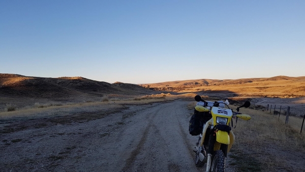
Mt Buster Road begins just outside Naseby on the Danseys Pass Road, (if you are travelling from the east, Little Kyeburn Road can also be used for access.)
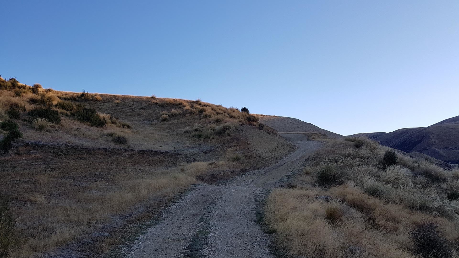
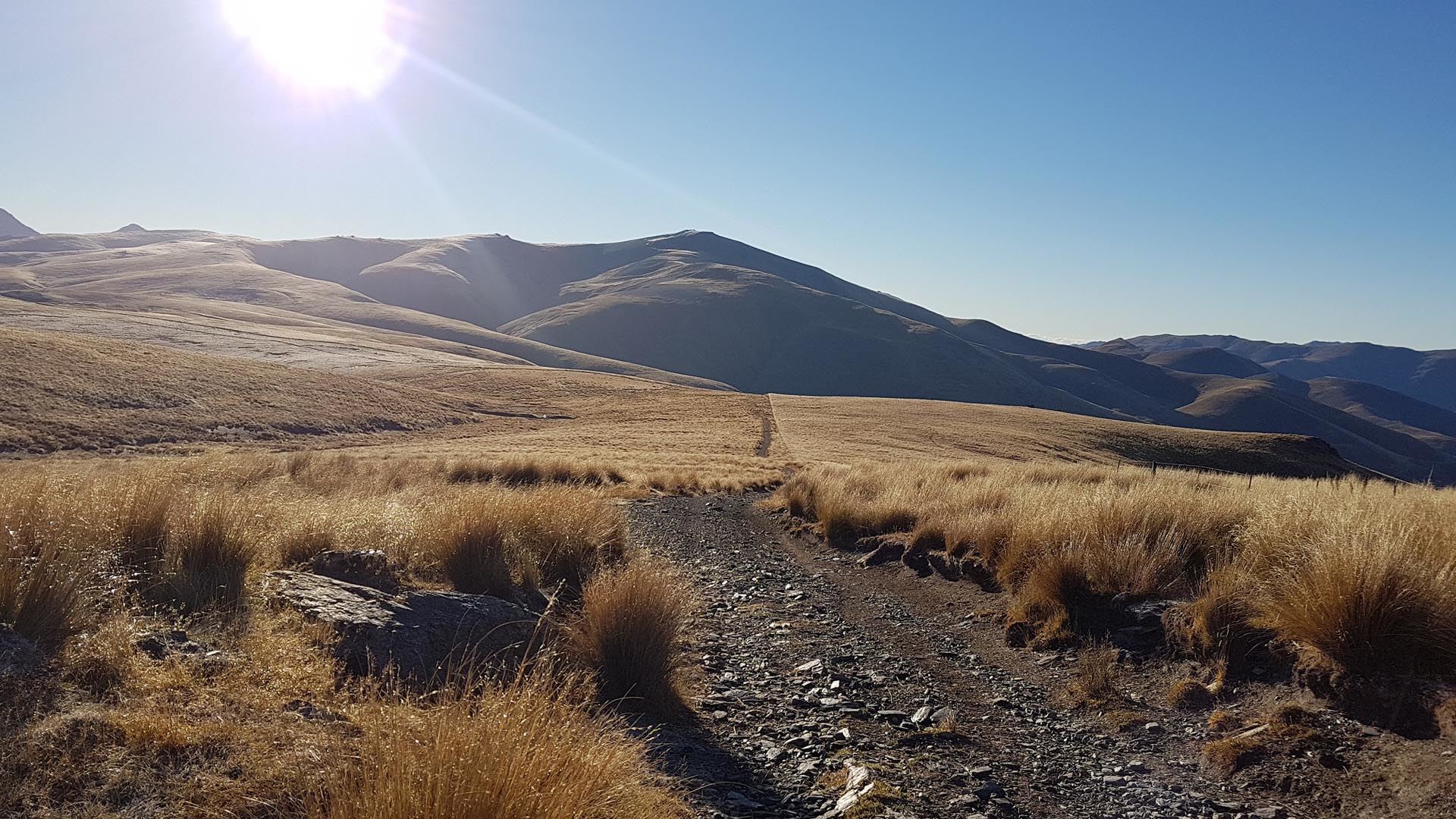
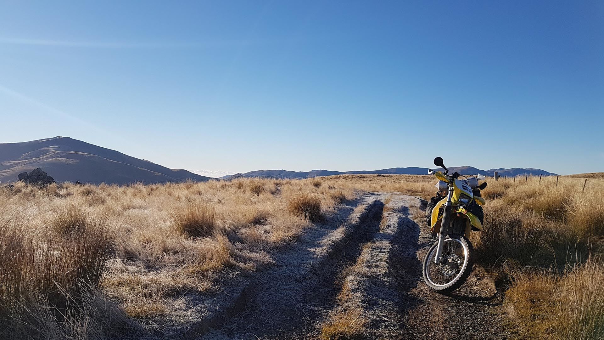
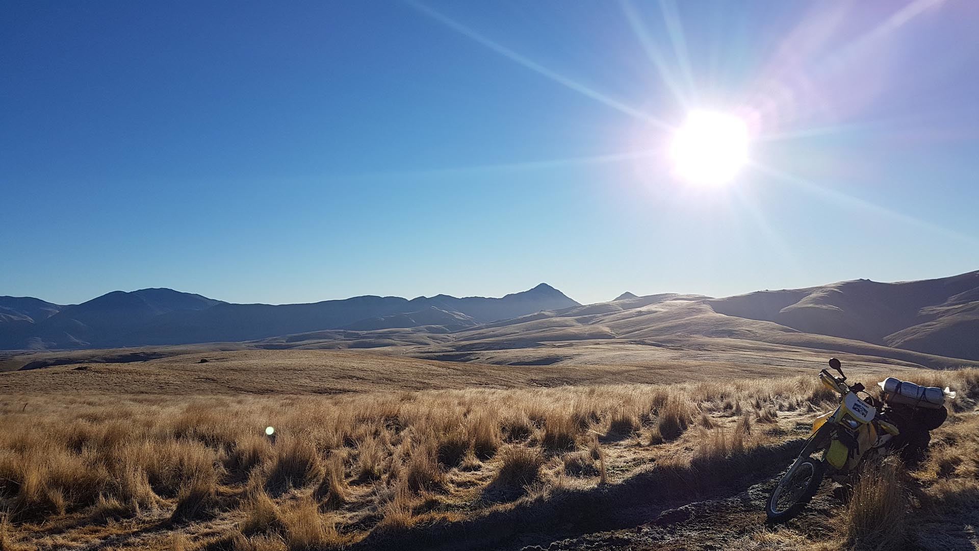
It starts out as a standard gravel road but once at Deep Stream the track becomes unmetalled and continues on through to the Oteake Conservation Park. From here the track degrades again as the makes it’s way up Mount Buster to the summit to give you some rewarding views of the Ida Valley below and surrounding hills.
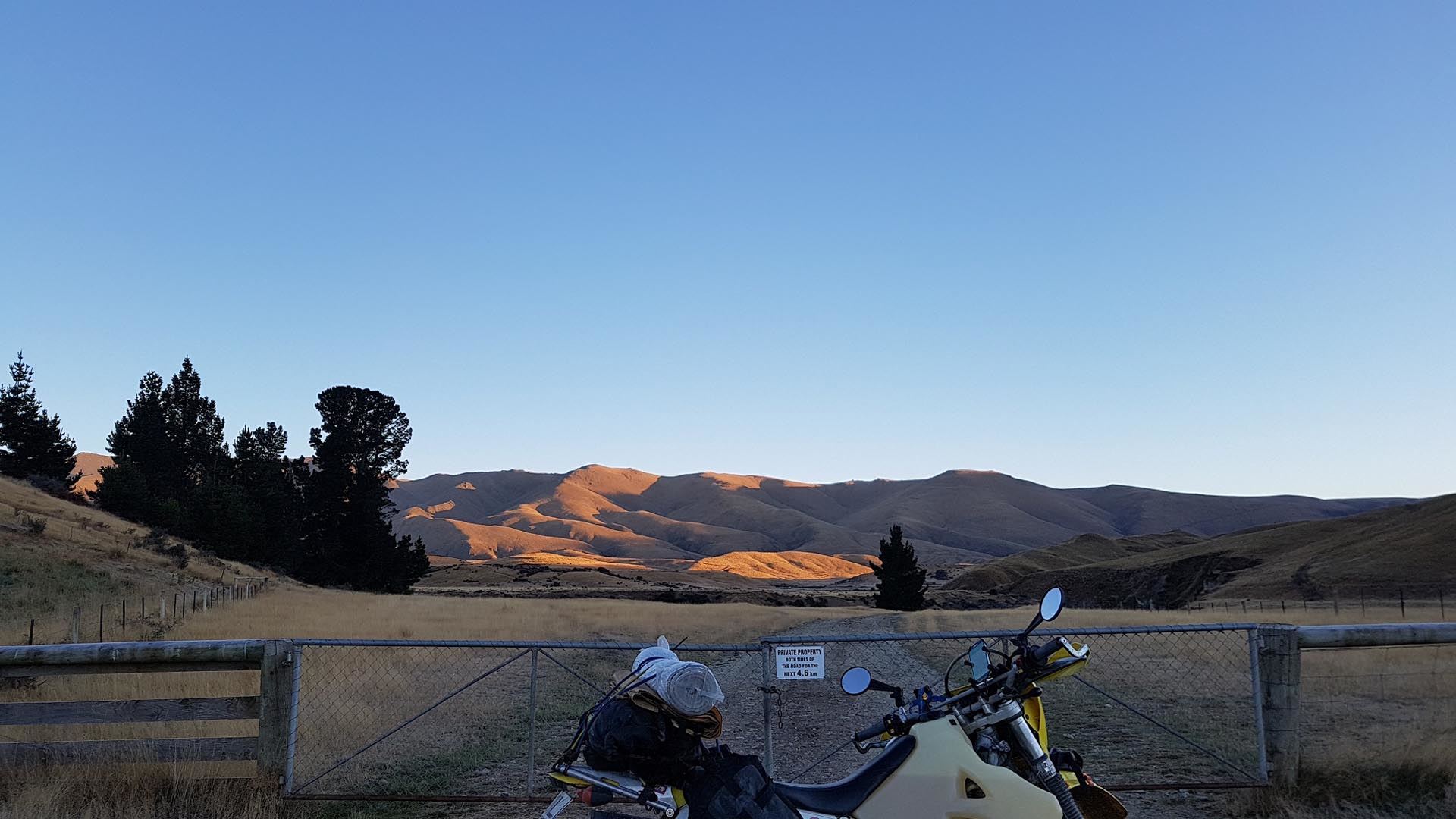
There are a few stream/creek crossings, but none were deeper than the axles in December. Gates are to be left as found, usually closed and the near the summit a gate will say you are leaving conservation land. This is an easement so be mindful to stick to the track, and not to spook stock. The track also has plenty on mounds and dips to aid in water runoff that could catch you unaware if not looking for them.
There are plenty of tracks to explore in and surrounding the DOC land and there several huts/campsites in the area to make a good base for exploring. Unfortunately, I ran out time so if you do some please track and share them.
Contributed by: @daniel_fisher
Track type: Dirt Track
Track composition: Rough, Loose, Steep
Slippery when wet? No
Suitable for bikes <650cc? Intermediate
Suitable for bikes >650cc? Intermediate
River crossings? Yes
Great track!
Here’s a ride report…