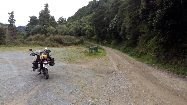
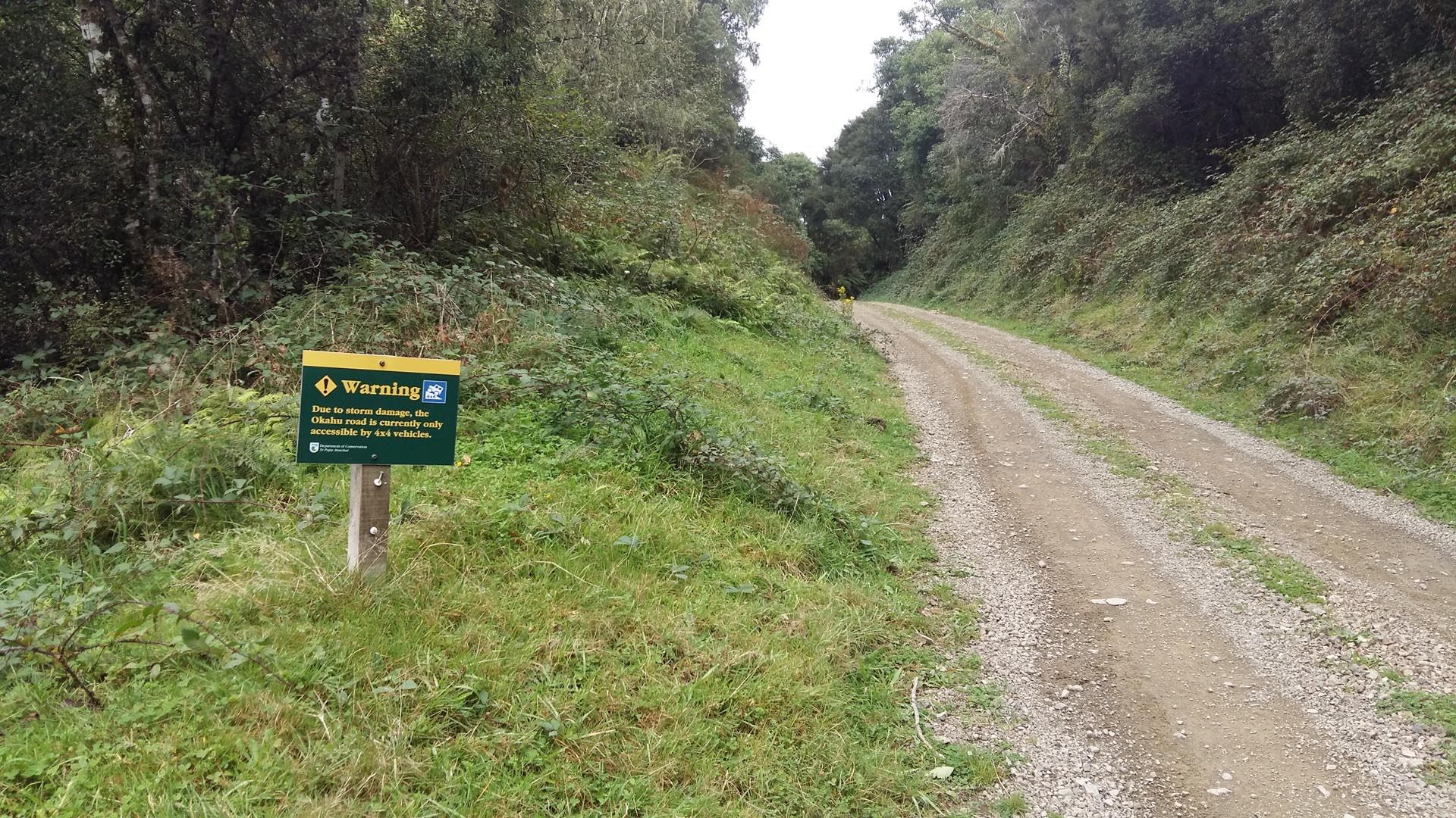
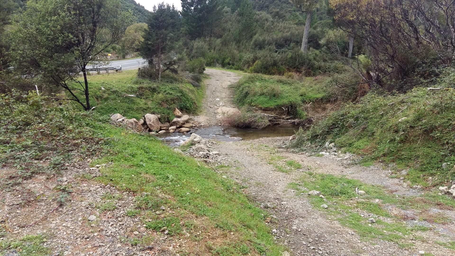
7.5km from the western end of SH38, the Waikaremoana Road, Okahu Road is 10km of undulating gravel and dirt track with several water crossings on the way. The state of the water crossings could vary depending on how must recent rain there has been and when the track was last maintained.
There are also a number of side tracks worth exploring, all of which require crossing the river to access them.
There are 2 DOC campsites on Okahu Road, one at the very end and the Mid Okahu Road campsite, both are basic with a long drop toilet and that’s about it, with the end campsite being quite open and the mid campsite more sheltered.
Contributed by: @eddieb
Track type: Dirt Track
Track composition: Bumpy, Loose, Undulating
Slippery when wet?: Yes
Suitable for bikes > 650cc Beginner
Suitable for bikes < 650cc Beginner
River crossings? Yes
https://www.youtube.com/watch?v=jx6yDDShGwg
During the 2017 Edgecumbe floods several sections of Okahu Road were washed out and have since been reconstructed, though any serious weather could wash them out again.
A hunter we spoke to was camping at the end DOC campsite told us they were trapped during the floods and had to be helicoptered out, their vehicles were trapped for a month.
There’s a ford right beside the bridge at the start
I have some video of the washed out sections of Okahu Road which I will post soon.
Added some video from my GoPro riding Okahu Road.
https://www.youtube.com/watch?v=jx6yDDShGwg