WP GPX Maps Error: GPX file not found! /home/adventur/public_html/wp-content/uploads/gpx/Pawanui_Road_250.gpx
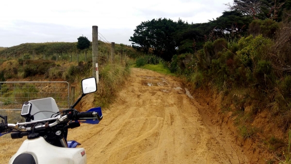
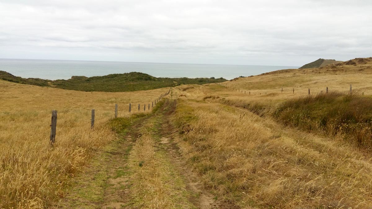
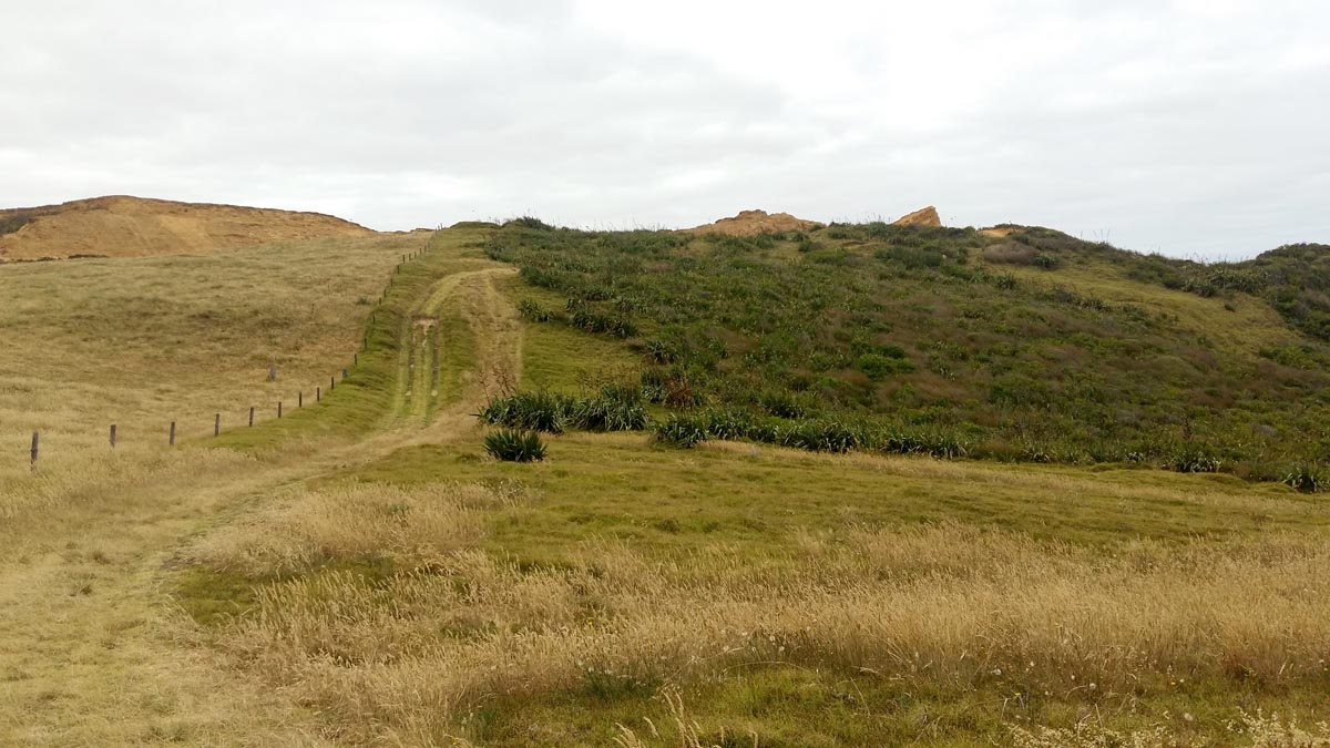
Parawanui Road is an awesome track just a few km’s North of Glinks Gully, West of Dargaville. Starting as a gravel road it quickly turns to dirt then into a farm track. As you progress along the track there are views of the Poutu Beach sand dunes to the South.
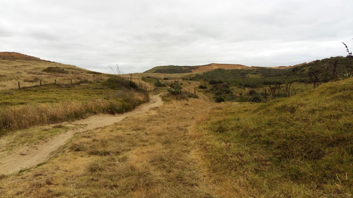
About 80% along the track it turns very sandy and descends down to Poutu Beach.
I would recommend that only experienced sand riders attempt this track from the Poutu Beach end as the track is steep, twisty and very loose sand as you come off the beach.
Went for a ride out here a couple of day’s ago on my AJP PR7, you can make up quite a good beach practice loop or figure of eight if you include Mahuta Gap Rd and Glinks Gully. There are also soft tracks along the beach to test your skills (or a nice firm beach ride) as well as going up and down Pawanui Rd and Mahuta Gap Rd. As Eddie say’s coming off the beach at Pawanui Rd is soft with blind corners so best to always check it out first coming towards the beach. I encountered a horse-rider and a vehicle down Mahuta Gap Rd even during the week, so I remained cautious when riding blind.
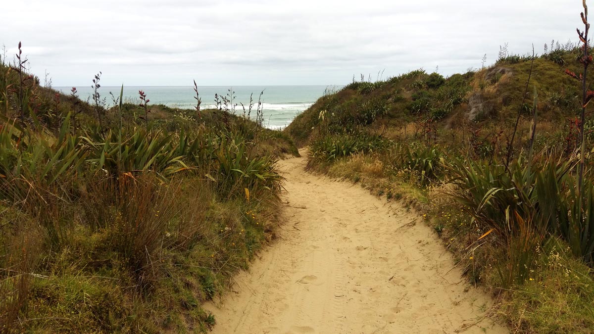
Went for a ride out here a couple of day’s ago on my AJP PR7, you can make up quite a good beach practice loop or figure of eight if you include Mahuta Gap Rd and Glinks Gully. There are also soft tracks along the beach to test your skills (or a nice firm beach ride) as well as going up and down Pawanui Rd and Mahuta Gap Rd. As Eddie say’s coming off the beach at Pawanui Rd is soft with blind corners so best to always check it out first coming towards the beach. I encountered a horse-rider and a vehicle down Mahuta Gap Rd even during the week, so I remained cautious when riding blind.