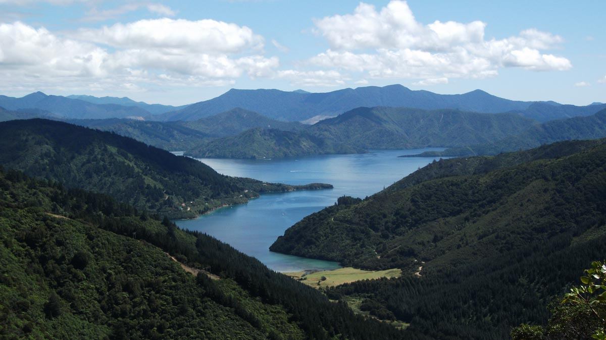
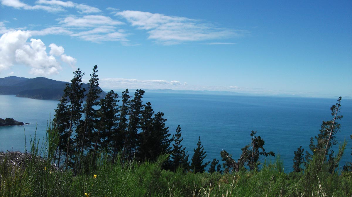
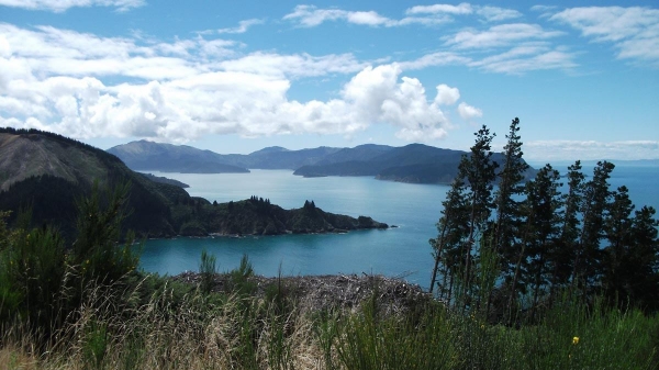
Port Underwood Road is 38.4km of windy scenic gravel with fantastic views over Marlborough bays and the North Island. At the northern end the road starts directly out of the Picton suburbs and the southern end is not far out of Blenheim.
The surface is usually well maintained and graded however Port Underwood Road gets an intermediate rating as the road is very windy with many tight uphill and downhill corners, some of them fairly steep. While a leaner adventure rider would be able to cope with most of the corners individually they would probably find 38.4km of them quite exhausting.
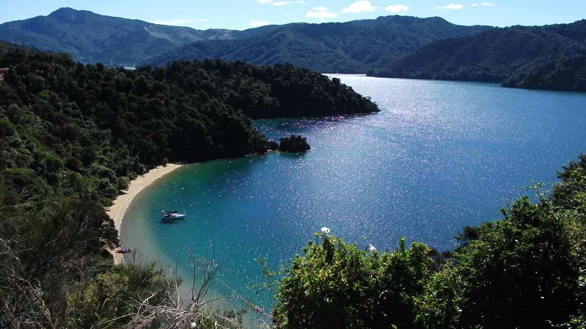
There are 4 DOC campsites along Port Underwood Road
Whatamango Bay DOC campsite: 6.3km from the northern end, 32.1km from the southern end
Robin Hood Bay DOC campsite: 28.4km from the northern end, 10km from the southern end
Whites Bay DOC campsite: 33.9km from the northern end, 4.5km from the southern end
Rarangi DOC campsite: ~200m south of the southern end of Port Underwood Road
Contributed by: @eddieb
Track type: Gravel Road
Track composition: Smooth, Loose, Undulating
Slippery when wet?: No
Suitable for bikes <650cc? Intermediate
Suitable for bikes >650cc? Intermediate
River crossings? No