Red Rocks is a great spot south of Wellington city to ride with amazing views of the South Island and varied terrain. Red Rocks can be broken into roughly three sections. The first being the easiest, the latter two relatively harder. Lowering air pressure in your tires is a must!
Red Rocks has an access gate at the carpark entrance which is closed nightly, and all day on Sundays.
Section 1: Car park to Devil’s gate
This section is relatively straight forward, being basically a gravel road. At the start you will have to navigate a shallow creek and then some soft sand (although the location of soft sand often changes after a storm). Not far from Devils gate there is another creek crossing which again is shallow and easy to ford. At Devil’s gate be careful of 4wd-ers if you choose to go over. In this section you will also encounter the most pedestrians. Please ride slowly around them so we maintain access!
Section 2: Devils Gate to Cave Bay
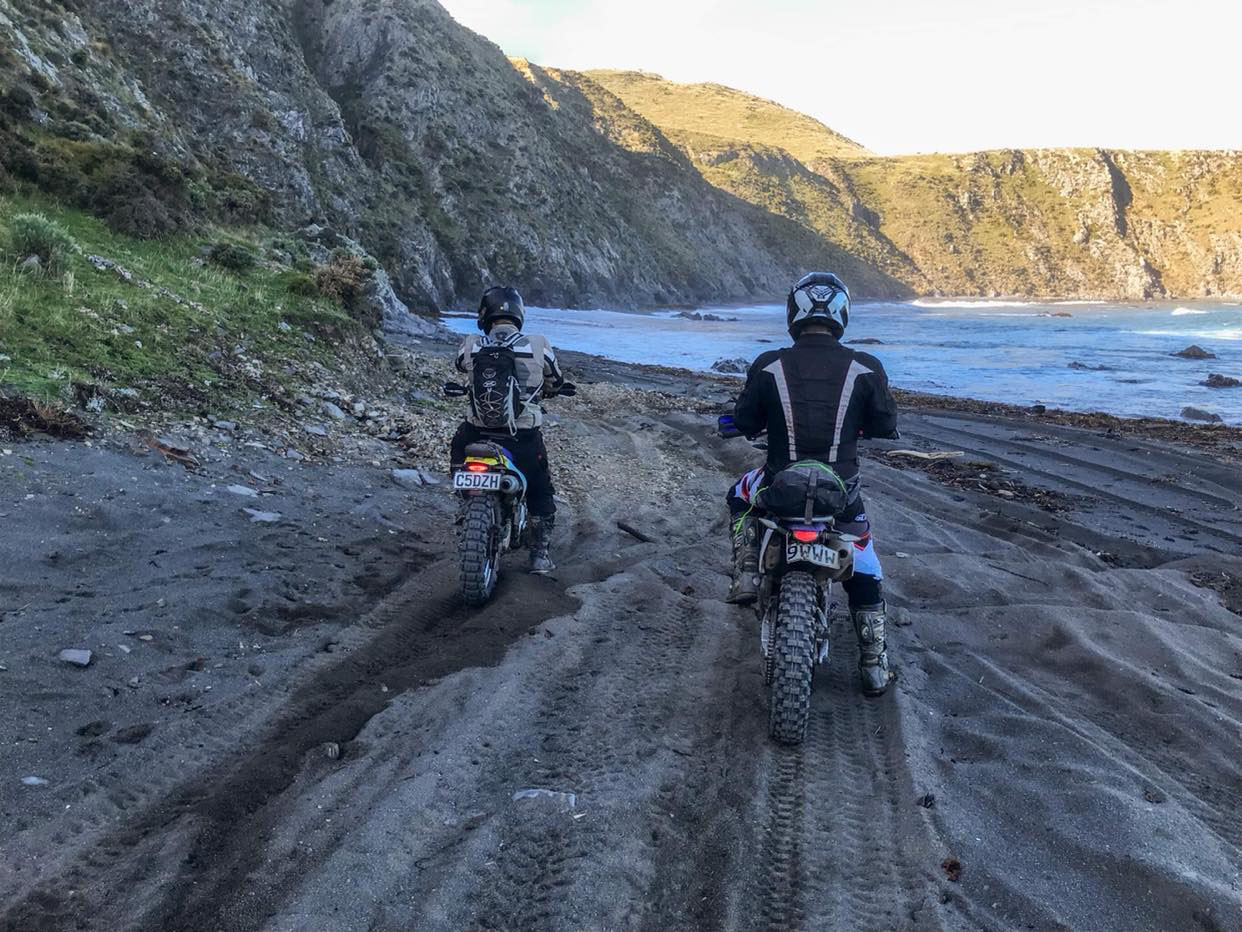
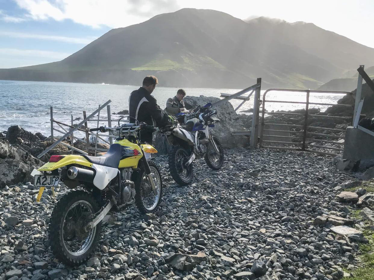
This section starts with some gravel track then turns largely to a sandy beach. Fortunately, you won’t see many pedestrians around here so you can pick up some speed to ‘plane’ over the sandy parts. There are plenty of good youtube videos if you need a reminder of how to ride on soft sand, so don’t shy away! There are 2 smaller creeks and a larger one in this section, again both are shallow or avoidable if you ride closer to the ocean. The biggest challenge in this section is the cattle stop, make sure you pick a (good) line and commit to it!
Section 3: Cave Bay to the power station
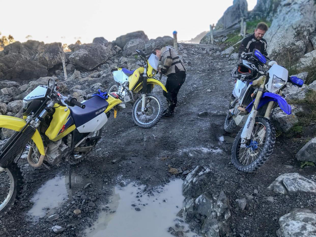
To get to this section you will need to pay attention to the tides as at high tide the ocean reaches the cliff faces around Cave Bay (even at low tide with a storm surge the waves can push water all the way up to the cliffs). Ride as fast as you can and don’t be afraid to cross over sea weed patches. Once you’re through, which is generally a great relief, the track becomes more formed again and takes you all the way to a locked gate not far from the power station. There are a few fun, technical rock obstacles in this area which can make the riding more challenging too.
Red Rocks isn’t overly remote but it can be windy and difficult to get to in case of an emergency. Definitely take a locator beacon or ride with a group. Also, the Facebook group ‘Stuck at Red Rocks’ (outside of being a source of entertainment) could be useful if you break down.
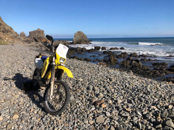
Contributed by: @aaron_baxendine
Track type: Gravel Road
Track composition: Rough, Loose, Steep
Slippery when wet? No
Suitable for bikes <650cc? Intermediate
Suitable for bikes >650cc? Experienced
River crossings? Yes
Great map of all the local names from Jeff Grove in the “Stuck at Red Rocks” FB group.