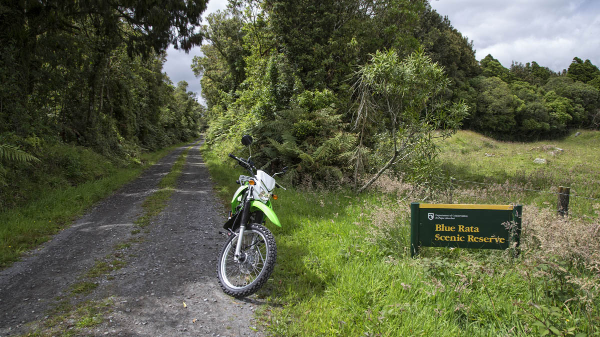
The gravel road section of Saunders Road starts with a river crossing and ultimately ends at a locked gate next to the Stony River. The track is short but traverses through the impressive Blue Rata Reserve (DOC).
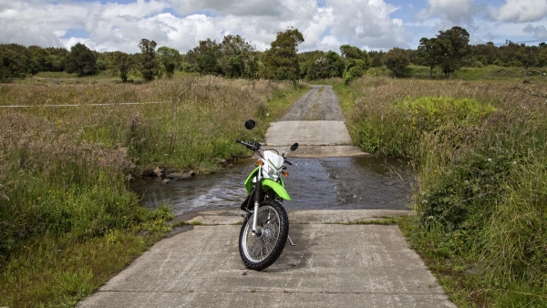
Saunders Road begins approximately 3 km from Okato. Turning right from Oxford Road then continuing to the left at the Wiremu Road junction, heading in a south-east direction towards Mount Taranaki. The junction at Carrington Road is well signposted and requires a right turn to stay on Saunders Road. The road leads down to a concrete ford that crosses the Mangatete Stream and to the start of the gradually ascending gravel road. The Blue Rata Reserve is signposted and largely occupies the strip of bush on your right between the gravel road and the Stony River (Hangatuhua). Near the end of the gravel road is a parking area, denoted by a large rock, but continue up the road where the graded gravel road changes to a muddy and sometimes overgrown track. This track terminates at a locked gate. If you choose to climb over the gate you are greeted with views of the Stony River, the Kaitake and Pouakai Ranges, and Mount Taranaki.
This track works well as part of a longer ride that takes in the gravel of Upper Puniho Road and Upper Parihaka/Upper Kahui roads which head up to the Egmont National Park on the western flank of Mount Taranaki.
Contributed by: @eddieb
Track type: Gravel Road
Track composition: Bumpy, Firm, Flat
Slippery when wet? No
Suitable for bikes <650cc? Beginner
Suitable for bikes >650cc? Beginner
River crossings? Yes