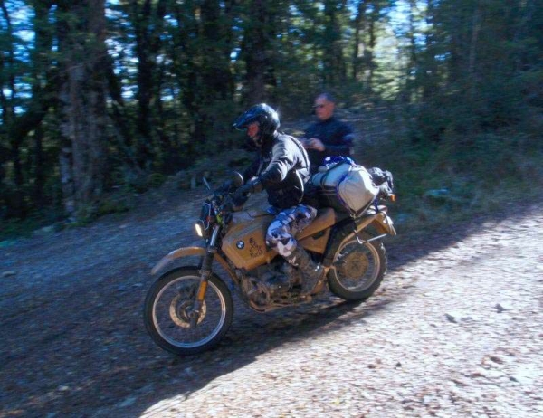
Porika Road runs just South of SH6 between St Arnaud and Murchison and along with the Braeburn Track makes a much more adventurous, though slower, alternative to the state highway. Usually ridden East to West, Porika Road is a road by name only. The rocky 4×4 track winds it’s way steadily uphill to a summit and has a rocky surface though it is not particularly loose. Part way up the track is a fork and riders take the left branch of the track there.
Porika Road gets it’s Experienced rider rating from the section starting from the summit and heading West down to Lake Rotoroa, particularly the zig zag section that can be seen on the GPS track and the altitude graph below it. This section of track is VERY steep, can be very rutted and is covered by fist sized rocks making choosing a line interesting in some places. Any riders attempting this section MUST be confident at braking downhill on loose rutty surfaces.
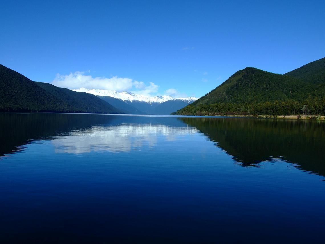
Once you get to the western end of Porika Road make sure you check out the lake, it is absolutely stunning. There is a DOC campsite beside the lake and large eels inhabit the lake which are protected, watch out for the huge mosquito’s.
DOC campsite information for Lake Rotoroa
Contributed by: @eddieb
Track type: Gravel Road
Track composition: Rough, Loose, VERY Steep
Slippery when wet?: Yes
Suitable for bikes <650cc? Experienced
Suitable for bikes >650cc? Experienced
River crossings? No
https://youtube.com/watch?v=b0TfzXY_w6U
Track was good in 11/2023 but slippery in some places going up after a bit of rain.
Went over 13-02-25. Fully laden T7. Wet, and loose, rain rutted. Challenging
https://youtu.be/_iW-QN39DiE