East Manuherikia Track, which takes you over the little Omarama Saddle, runs from the back of Omarama to near St Bathans, between SH83 and SH85.
Departing from Omarama you rapidly climb to over 1350m elevation providing breathtaking views. The Omarama side of the track is mostly shingle with sharp rocks and is steep but not extreme. Road tyres are not recommended as punctures would be likely and traction would be limited.
On the St Bathans side there are a number of dirt areas that can become very boggy and slippery in the wet.
This area is extremely exposed to weather and can experience alpine conditions and so due care and respect is required and riders should be equipped for a variety of weather and track conditions. Check the weather forecast before you go and travel with other riders as there are large areas of no cellphone coverage and little traffic.
The southern end of East Manuherikia Track – Little Omarama Saddle is on Hawkdun Runs Road.
There are multiple stream and river crossings that become impassible after significant rain. If recent weather has been wet is is advisible to check river levels and flow before attempting the East Manuherikia Track – Little Omarama Saddle.
http://water.orc.govt.nz/WaterInfo/Site.aspx?s=ManuherikiaOphir
http://water.orc.govt.nz/WaterInfo/Site.aspx?s=Beattie
East Manuherikia Track – Little Omarama Saddle becomes impassable over winter due to snow and mud and so is only open from Labour Weekend to 30th of April each year and even then may be closed at any time during that period due to track or weather conditions.
There is also a West Manuherikia Track that can make a loop ride, if you have a GPS tracklog of the West Manuherikia Track please send it in so it can be shared with other adventure riders.
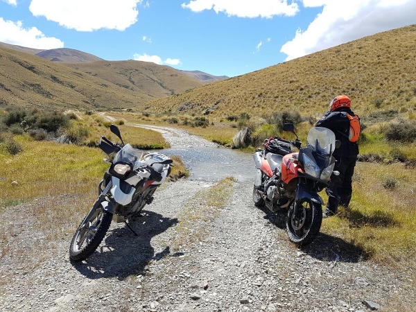
Contributed by: Adventure Riding NZ
Track type: Gravel Road
Track composition: Bumpy, Firm, Steep
Slippery when wet? Yes
Suitable for bikes <650cc? Intermediate
Suitable for bikes >650cc? Experienced
River crossings? Yes
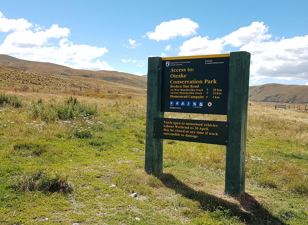

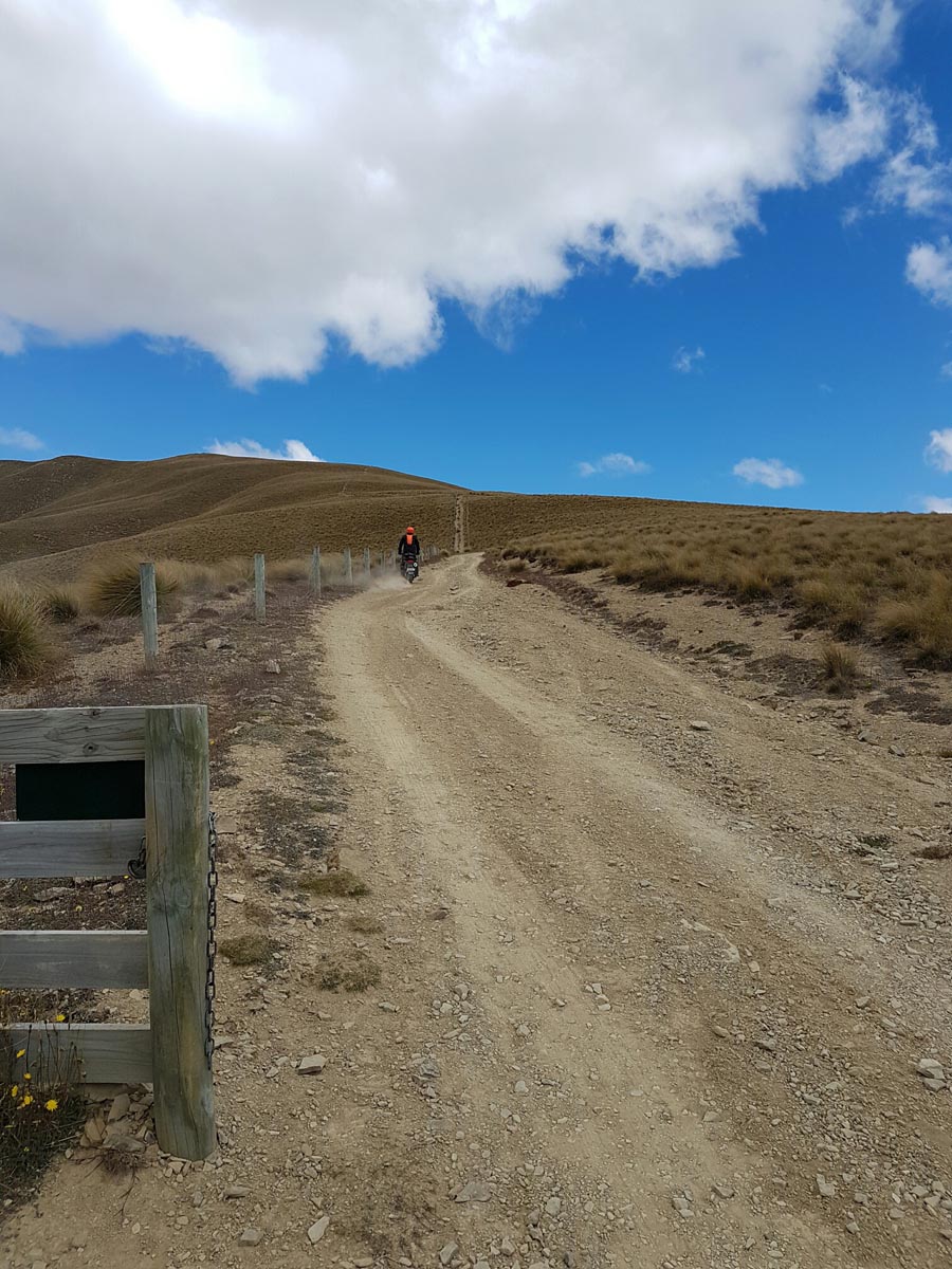

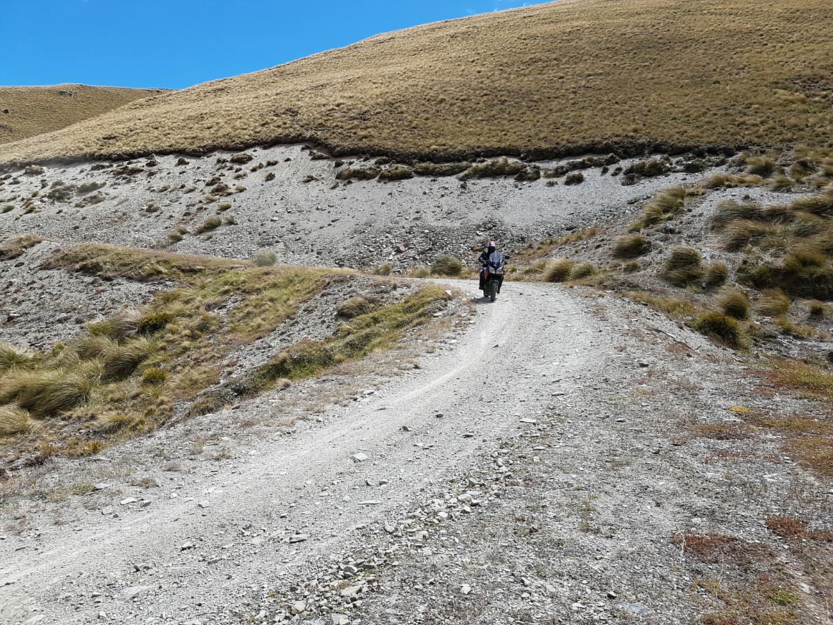
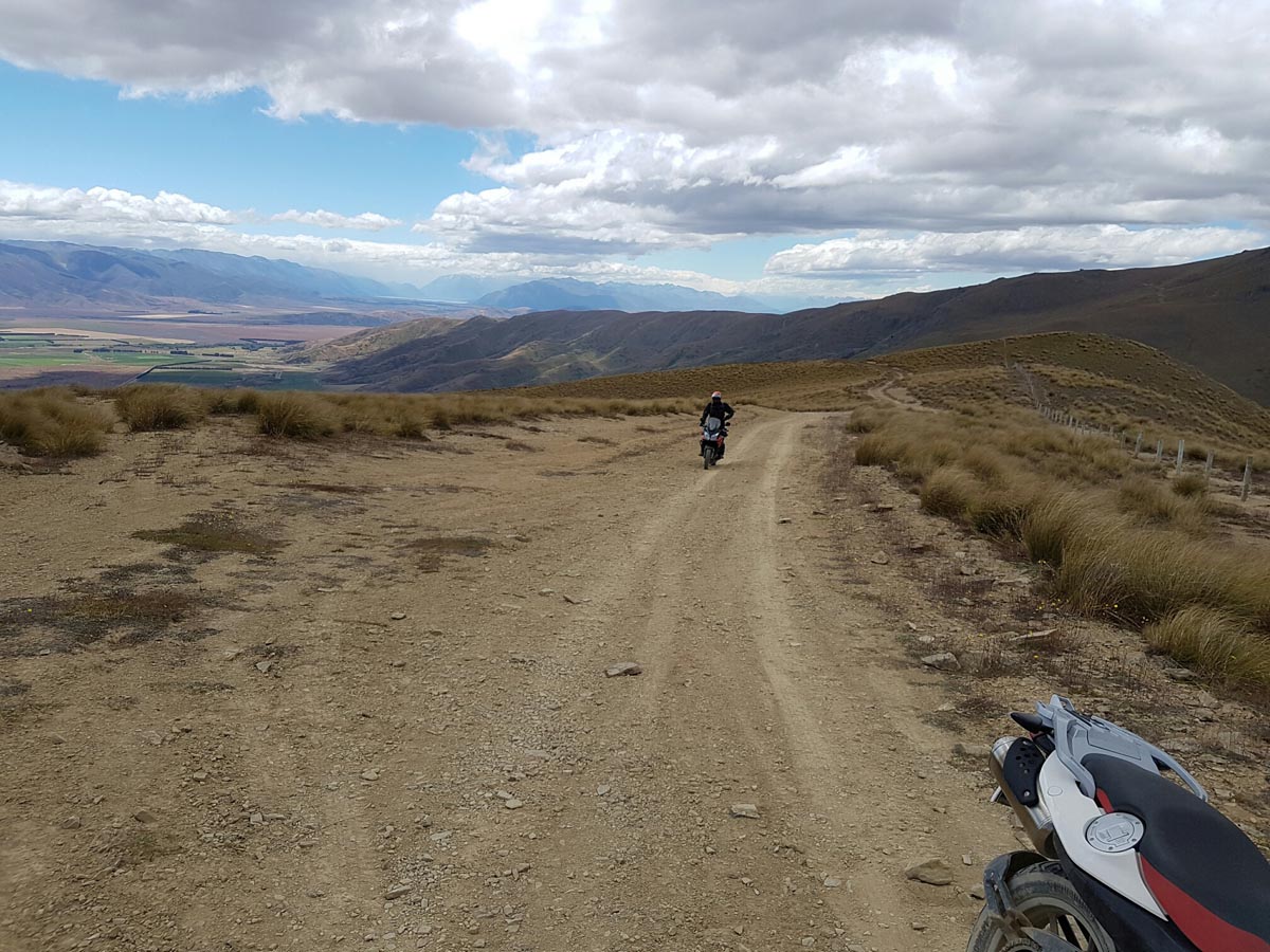
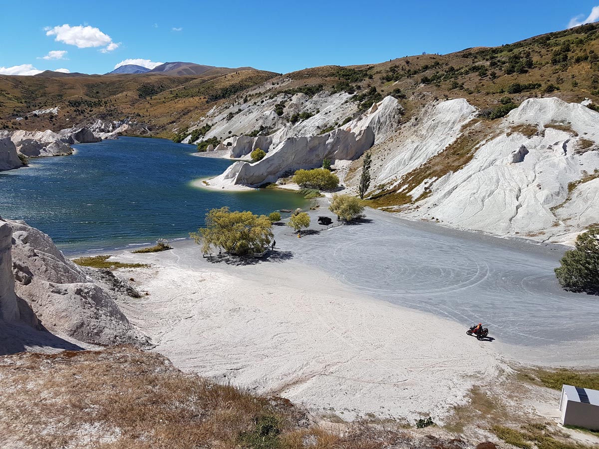
What an epic adventure going through this tough and rugged terrain. After all the water that came down in Jan/Feb of 2023 we went through there with very heavy bikes. KTM 990 Adventure R and BMW GS1200 fully loaded. My mate’s unit weight 400kg. We did this in the night and was very very challenging. We pushed through and conquered it. Not mend for bigger than 650cc if you want to enjoy this trail or if you are an experienced rider you can push through with it. Lots of steep hills with gates that leans on an angle. For the sights we didn’t see match as we went through it around 10pm-12pm. But very rewarding when you finish it!! See attached a small video clip of it. Batteries of the GoPro was flat at that time. So we only have a short video to share. We will do this again in the day time!
https://youtu.be/xJDPds1_g5M
06/02/2023
Hi this ride info from one of our adventure riders regarding river level. note this was for the west rack.
“Pick your timing, did it this weekend and the water was high and swift. My shorter friends had to walk their bikes over to not get pushed over (after their bikes took a drink) . West track.”
These links are for river levels in the general area the are a wee way down stream but should give a good indication of river levels
http://water.orc.govt.nz/WaterInfo/Site.aspx?s=ManuherikiaOphir
Or for indication in the area.
http://water.orc.govt.nz/WaterInfo/Site.aspx?s=Beattie
On the day of the ride report the Manuherikia-Ophir was between 30 and 34 cumecs.
The Flow at Dunstan Creek at Beattie Road was between 5.5 & 6.5 cumecs.
The road where the east and the west Manuherikia tracts split is not very well defined coming from the south (St Bathans) side. I did it on the 28/12/2018 and ended up on the west Manuherikia track. Was hard yakka (for me with my limited offroad experience on a stock Royal Enfield Himalayan) as the track is quite rough and thru the creek crossings as the there are big rocks with limited traction. Awesome ride tho. Unfortunately I did not get a GPS point of where the tracks split. A GPS point would be very useful.
Hi how far is this track one way?
The graph above indicates it’s about 55km.
Newbie Question here: Is the route sign posted along the way so you dont deviate and end up going around in big circles? Or would GPS be highly recommended so you dont stray off the main track?
I would suggest you download the GPX file to a GPS app on your phone at least as the branch off to the west Manuherikia is not sign posted at all. The west is a difficult track not to do on your own. I continued on the track and ended up on the west Manuherikia (wanted to do the east one), fell and had to finish it with a dislocated AC joint in my shoulder. Difficult deep river fords with big boulders, even dropped the bike in the middle of one crossing but fortunately did not drown the bike.