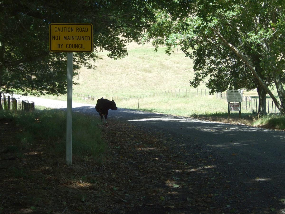
The Northern end of Wade Road is 100m from where the North End of CastleRock Road is supposed to come out and the 2 tracks would make a great gravel loop around the Coromandel if access was open. The southern end of Wade Road is on SH25 just South of Whitianga and a few hundred metres from the East end of The 309 Road.
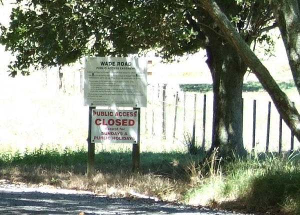
Wade Road is another public easement through the private Whangapoua Forest, in this case according to signage at the North end it is open Sundays and Public Holidays but it was a Saturday when I tried to ride it so the gates were closed a few km in, if you are heading out this way ona Sunday or public holiday with a GPS, or the Maverick software on your Android phone please record a track of the whole thing for me and you’ll get 100 Community Points.
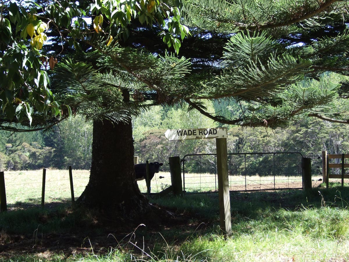
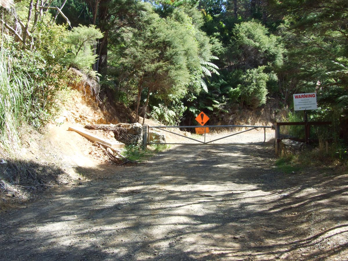
At the South end of Wade Road there is a track around the gate where either mountain bikes or trail riders have been getting in.
Contributed by: @eddieb
Track type: Gravel Road
Track composition: Bumpy, Loose, Undulating
Slippery when wet? No
Suitable for bikes <650cc? Beginner
Suitable for bikes >650cc? Beginner
River crossings? No
Tried this road on Sunday the 12th at 10am and the gate was locked at the north end. Also there was a big sign that said “No Motorcycles”. But from the look of things theres been alot of traffic through the gates. So dont know whats going on here.
I suspected it would be. Was there a contact number there anywhere?
Nah, not that I saw. Looks the same as in your photos.
Can this be ridden legally now?
No idea sorry. It really needs someone to ring the local council and ask what the deal is about the public easement.
I emailed TCDC, their response is below:
I thought Public Easements were defined via the council but maybe this one is/was just the company trying to be nice to locals.